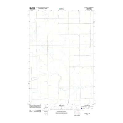
2011 Map of Fallon NE
USGS Topo · Published 2011About this map
The Little Heart River meanders through this agricultural landscape in Morton County, providing the primary natural drainage for a region structured by a rigid section-line road grid. Mapping from this era shows a quiet rural territory where large-scale farming and ranching are supported by a network of local routes, including County Rd 138 and County Rd 83. The land is defined by open drainage patterns and a sparsely populated layout characteristic of the North Dakota plains, with long thoroughfares such as 48th St and 51st St marking the vast distances between homesteads. This 2011 survey by the U.S. Geological Survey utilizes data from the National Hydrography Dataset to document the precise winding path of the river as it cuts through the prairie.
Find a feature on this map
17 named features on this map. Tap any name to fly to it.
Don’t see what you’re looking for? This feature index may not catch every label — zoom into the map to look around manually.
Map Details
Editions of this 2011 Fallon NE Map
This is the sole edition of this map. No revisions or reprints were ever made.
Other maps of this area

1907 · Bismarck
USGS Topo · 1:125,000

1951 · Bismarck
USGS Topo · 1:62,500

1951 · Mandan
USGS Topo · 1:24,000

1954 · Bismarck
USGS Topo · 1:250,000

1958 · Bismarck
USGS Topo · 1:250,000

1962 · Mandan
USGS Topo · 1:24,000

1972 · Sweet Briar
USGS Topo · 1:24,000

1972 · Crown Butte Lake
USGS Topo · 1:24,000

1979 · Bismarck
USGS Topo · 1:100,000

1980 · Fallon NE
USGS Topo · 1:24,000