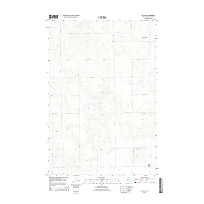
2014 Map of Fallon NE
USGS Topo · Published 2014About this map
The Little Heart River meanders across this rural landscape in Morton County, winding between the expansive prairie reaches of Custer Flats and Little Heart Flats. This terrain is characterized by the structured grid of the Public Land Survey System, with roads such as 46th St and 30th Ave marking the section lines of the North Dakota plains. The geography here is defined by these broad, high-elevation flats and the drainage basin of the river, showing a landscape dedicated primarily to agricultural use and open range. The network of local roads and the presence of Cr-83 provide a clear view of the rural infrastructure connecting the isolated farmsteads and fields of the early 21st century.
Find a feature on this map
21 named features on this map. Tap any name to fly to it.
Don’t see what you’re looking for? This feature index may not catch every label — zoom into the map to look around manually.
Map Details
Editions of this 2014 Fallon NE Map
This is the sole edition of this map. No revisions or reprints were ever made.
Other maps of this area

1907 · Bismarck
USGS Topo · 1:125,000

1951 · Bismarck
USGS Topo · 1:62,500

1951 · Mandan
USGS Topo · 1:24,000

1954 · Bismarck
USGS Topo · 1:250,000

1958 · Bismarck
USGS Topo · 1:250,000

1962 · Mandan
USGS Topo · 1:24,000

1972 · Sweet Briar
USGS Topo · 1:24,000

1972 · Crown Butte Lake
USGS Topo · 1:24,000

1979 · Bismarck
USGS Topo · 1:100,000

1980 · Fallon NE
USGS Topo · 1:24,000