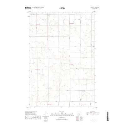
2018 Map of Fallon NE
USGS Topo · Published 2018About this map
The Little Heart River winds through this section of rural Morton County, defining a landscape of prairie drainage and low-lying plains. The map reveals a transition from the elevated terrain of the surrounding townships into the broad, relatively level Little Heart Flats in the southeast. This area is characterized by a sparse, grid-based network of section lines and county roads, including north-south corridors like 31st Ave and 30th Ave.
Find a feature on this map
30 named features on this map. Tap any name to fly to it.
Don’t see what you’re looking for? This feature index may not catch every label — zoom into the map to look around manually.
Map Details
Editions of this 2018 Fallon NE Map
This is the sole edition of this map. No revisions or reprints were ever made.
Other maps of this area

1907 · Bismarck
USGS Topo · 1:125,000

1951 · Bismarck
USGS Topo · 1:62,500

1951 · Mandan
USGS Topo · 1:24,000

1954 · Bismarck
USGS Topo · 1:250,000

1958 · Bismarck
USGS Topo · 1:250,000

1962 · Mandan
USGS Topo · 1:24,000

1972 · Sweet Briar
USGS Topo · 1:24,000

1972 · Crown Butte Lake
USGS Topo · 1:24,000

1979 · Bismarck
USGS Topo · 1:100,000

1980 · Fallon NE
USGS Topo · 1:24,000