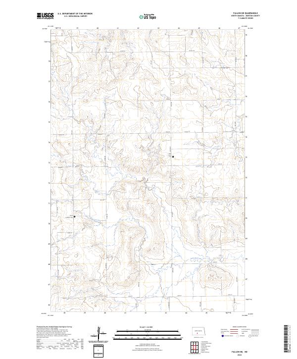
2024 Map of Fallon NE
USGS Topo · Published 2024About this map
The Little Heart River meanders across this rural section of Morton County, North Dakota, defining the drainage patterns for the surrounding high plains. The landscape is organized by a precise grid of sections and ranges, including t137n r82w and t138n r83w. For local historians and genealogists, the map identifies two significant burial sites: the Stone Lutheran Cem, located along 31 1/2 Ave south of 51st St, and the Rural Union Cem situated near 28th Ave. A network of county routes, such as Co Rd 83 and Co Hwy 138a, provides access to these remote prairie lands, while smaller roads like 54th St and 27th Ave serve individual farmsteads and rural properties.
Find a feature on this map
29 named features on this map. Tap any name to fly to it.
Don’t see what you’re looking for? This feature index may not catch every label — zoom into the map to look around manually.
Map Details
Editions of this 2024 Fallon NE Map
This is the sole edition of this map. No revisions or reprints were ever made.
Other maps of this area

1907 · Bismarck
USGS Topo · 1:125,000

1951 · Bismarck
USGS Topo · 1:62,500

1951 · Mandan
USGS Topo · 1:24,000

1954 · Bismarck
USGS Topo · 1:250,000

1958 · Bismarck
USGS Topo · 1:250,000

1962 · Mandan
USGS Topo · 1:24,000

1972 · Sweet Briar
USGS Topo · 1:24,000

1972 · Crown Butte Lake
USGS Topo · 1:24,000

1979 · Bismarck
USGS Topo · 1:100,000

1980 · Fallon NE
USGS Topo · 1:24,000