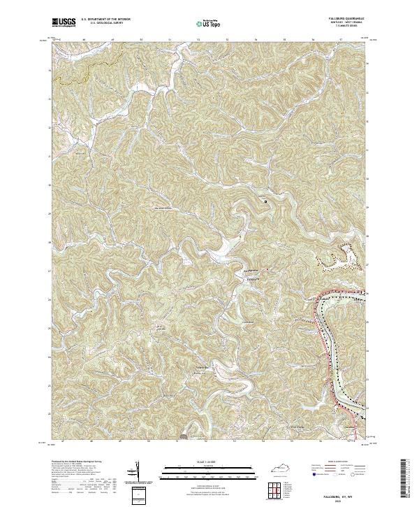
2022 Map of Fallsburg
USGS Topo · Published 2022About this map
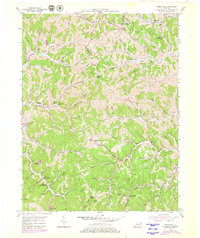
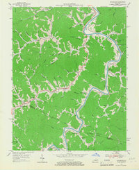
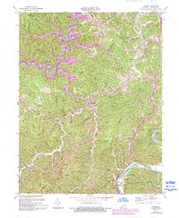
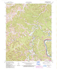
Blaine Creek meanders through the heart of this Lawrence County landscape, defining the character of local settlements like Fallsburg and Stringtown. The geography is shaped by a dense network of hollows and ridges, including Grannyham Hollow and Jerry Riffe Hill, which historically dictated the paths of winding routes like State Hwy 707. Along the eastern border, the confluence of the Tug Fork and the Big Sandy River marks the state line between Kentucky and West Virginia, a critical waterway for the region's development.
Find a feature on this map
94 named features on this map. Tap any name to fly to it.
Don’t see what you’re looking for? This feature index may not catch every label — zoom into the map to look around manually.
Map Details
Editions of this 2022 Fallsburg Map
This is the sole edition of this map. No revisions or reprints were ever made.
Historical Maps of Fullers Through Time
14 maps found
1953 Adams
Lawrence County, KY
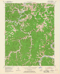
1953 Fallsburg
Lawrence County, KY
1953 Mazie
Lawrence County, KY
1953 Webbville
Lawrence County, KY
1954 Richardson
Lawrence County, KY
1971 Adams
Lawrence County, KY
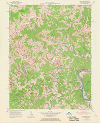
1971 Fallsburg
Lawrence County, KY
1971 Richardson
Lawrence County, KY
1992 Richardson
Lawrence County, KY
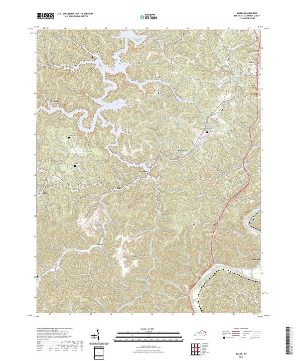
2022 Adams
Lawrence County, KY
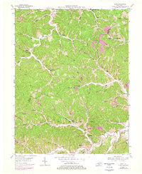
2022 Fallsburg
Lawrence County, KY
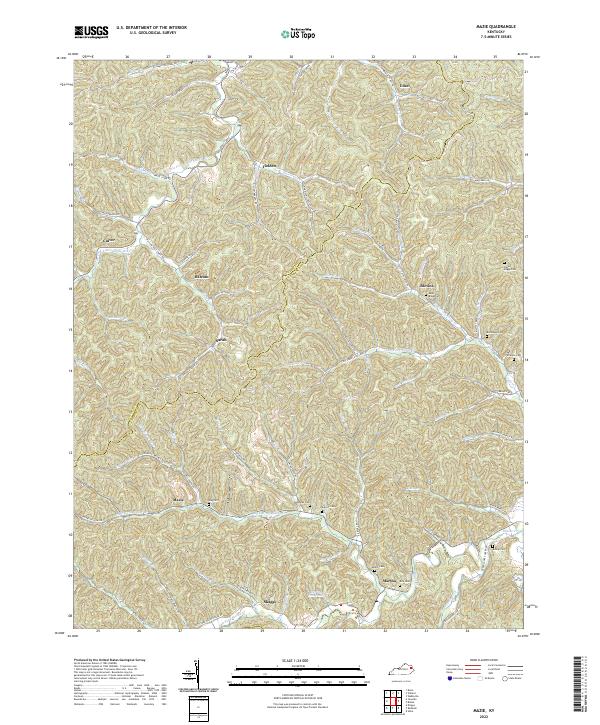
2022 Mazie
Lawrence County, KY
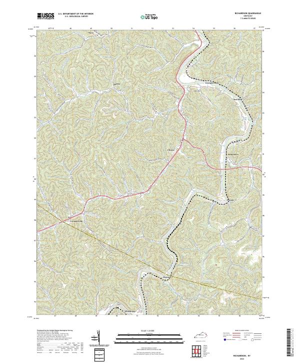
2022 Richardson
Lawrence County, KY
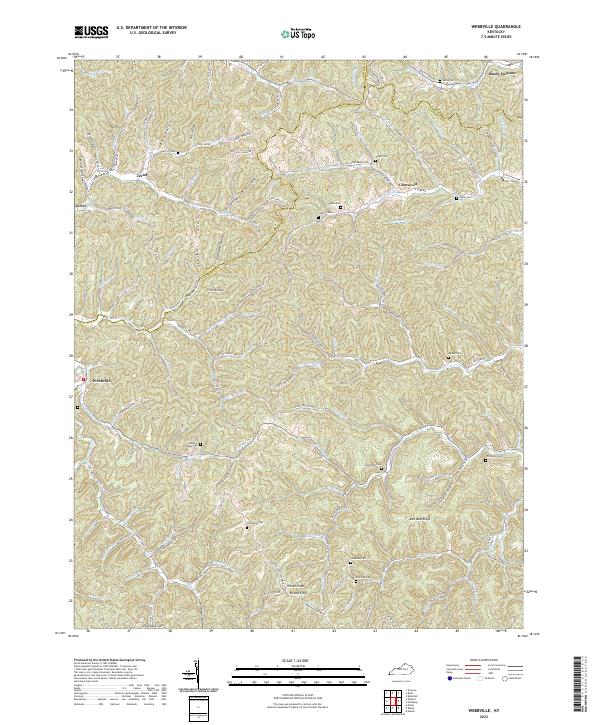
2022 Webbville
Lawrence County, KY