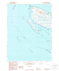
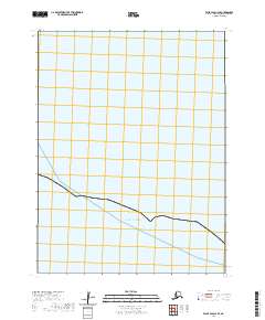
1989 Map of False Pass B-3
USGS Topo · Published 1989About this map
Sanak Island and its surrounding archipelago define this maritime survey within the Aleutians East Borough. The map captures the remote settlement of Sanak on the northern coast and the village of Pauloff Harbor tucked into a sheltered inlet. This 1980s data reveals a coastal landscape shaped by the sea, with extensive Tidal Flats stretching between the main island and Long Island.
Find a feature on this map
28 named features on this map. Tap any name to fly to it.
Don’t see what you’re looking for? This feature index may not catch every label — zoom into the map to look around manually.
Map Details
Editions of this 1989 False Pass B-3 Map
This is the sole edition of this map. No revisions or reprints were ever made.
Other maps of this area

1949 · False Pass
USGS Topo · 1:250,000

1950 · False Pass
USGS Topo · 1:250,000
1963 · False Pass C-2
USGS Topo · 1:63,360
1989 · False Pass B-2
USGS Topo · 1:63,360
1989 · False Pass C-4
USGS Topo · 1:63,360
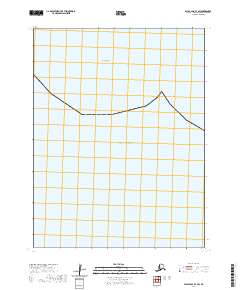
2020 · False Pass B-3 SW
USGS Topo · 1:25,000
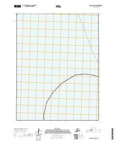
2020 · False Pass C-3 SW
USGS Topo · 1:25,000
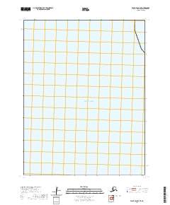
2020 · False Pass B-4 SE
USGS Topo · 1:25,000
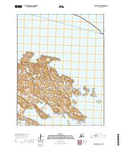
2020 · False Pass B-2 NW
USGS Topo · 1:25,000
2020 · False Pass C-3 SE
USGS Topo · 1:25,000