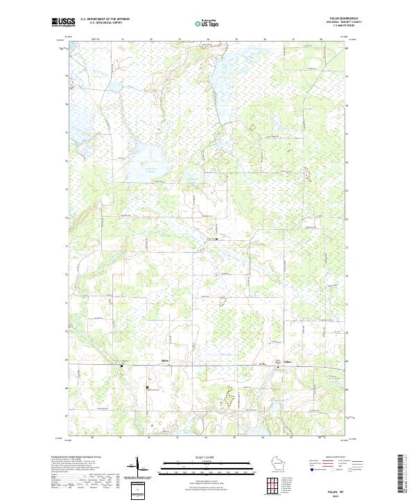
2022 Map of Falun
USGS Topo · Published 2022About this map
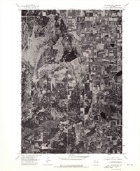
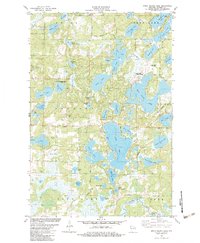
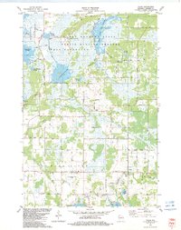
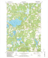
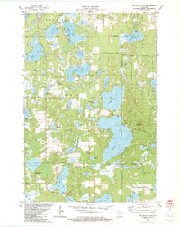
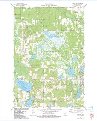
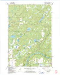
Falun and Alpha anchor this Burnett County landscape, where the Wood River and its tributaries carve a complex network of wetlands and managed water levels. The presence of several distinct flowages, including Upper Phantom Flowage, North Fork Flowage, and Sandberg Flowage, indicates a region defined by hydraulic engineering and wildlife management, supported by infrastructure like Main Dike Rd and the Phantom Lake Bypass. For family historians, the area is rich with genealogical sites, featuring four distinct burial grounds: Falun Settlers Cem, Wood Lake Cem, Ansgarus Cem, and Freya Cem. These cemeteries are connected by a grid of rural routes such as Cemetery Rd and Range Line Rd, reflecting a stable agricultural and conservation-focused settlement pattern in northwestern Wisconsin.
Find a feature on this map
59 named features on this map. Tap any name to fly to it.
Don’t see what you’re looking for? This feature index may not catch every label — zoom into the map to look around manually.
Map Details
Editions of this 2022 Falun Map
This is the sole edition of this map. No revisions or reprints were ever made.
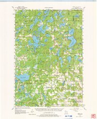
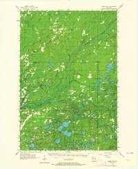
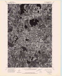
Historical Maps of Alpha Through Time
40 maps found

1949 Hertel
Burnett County, WI

1949 Webb Lake
Burnett County, WI
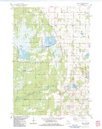
1955 Hertel
Burnett County, WI
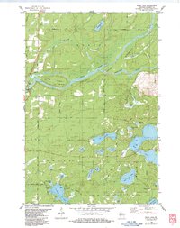
1955 Webb Lake
Burnett County, WI
1974 Milltown NE
Burnett County, WI
1974 Milltown NW
Burnett County, WI
1982 Birch Island Lake
Burnett County, WI
1982 Falun
Burnett County, WI
1982 Hertel
Burnett County, WI
1982 Mc Kenzie Lake
Burnett County, WI
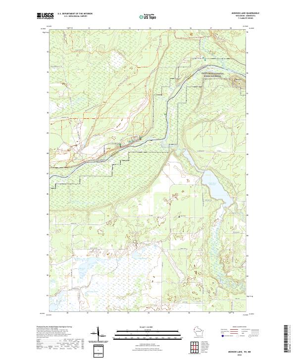
1982 Monson Lake
Burnett County, WI
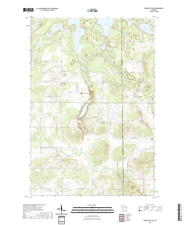
1982 Poquettes Lake
Burnett County, WI
1982 Siren East
Burnett County, WI
1982 Siren West
Burnett County, WI
1982 Timberland
Burnett County, WI
1982 Yellow Lake
Burnett County, WI
1983 Danbury East
Burnett County, WI
1983 Danbury West
Burnett County, WI
1983 Frog Lake
Burnett County, WI
1983 Randall
Burnett County, WI
1983 Trade Lake
Burnett County, WI
1983 Trade River
Burnett County, WI
1983 Webb Lake
Burnett County, WI
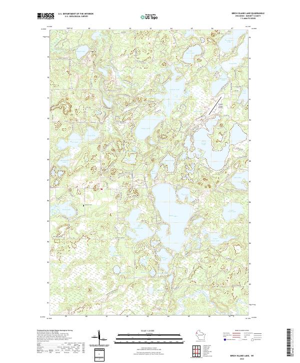
2022 Birch Island Lake
Burnett County, WI
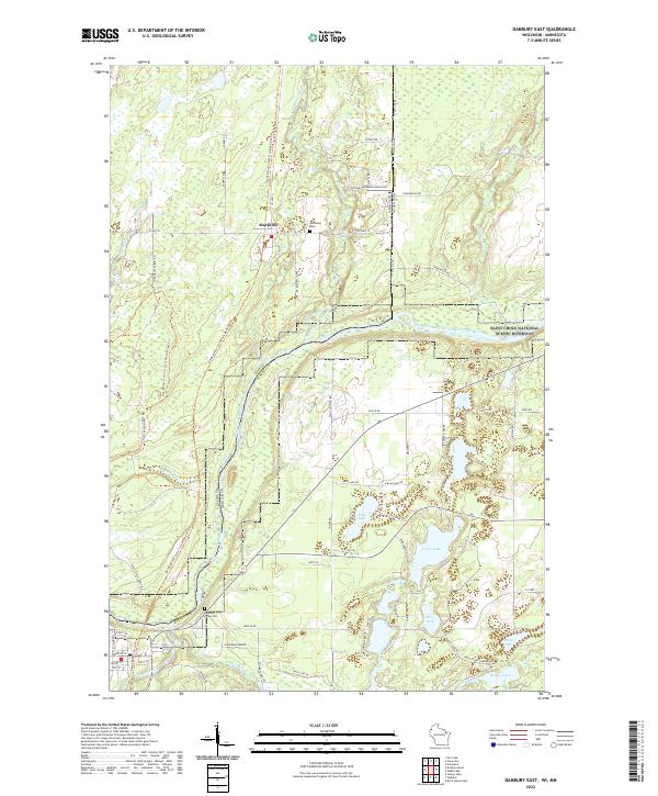
2022 Danbury East
Burnett County, WI
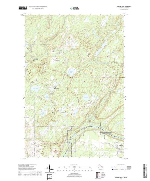
2022 Danbury West
Burnett County, WI
2022 Falun
Burnett County, WI
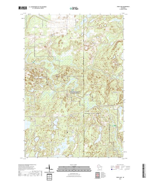
2022 Frog Lake
Burnett County, WI
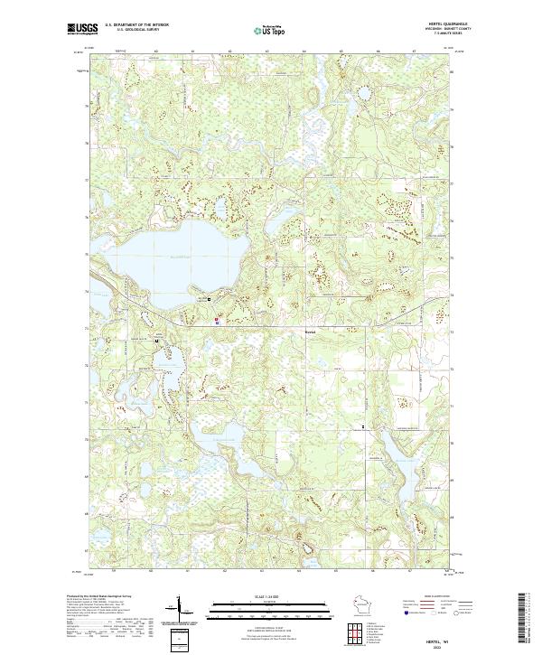
2022 Hertel
Burnett County, WI
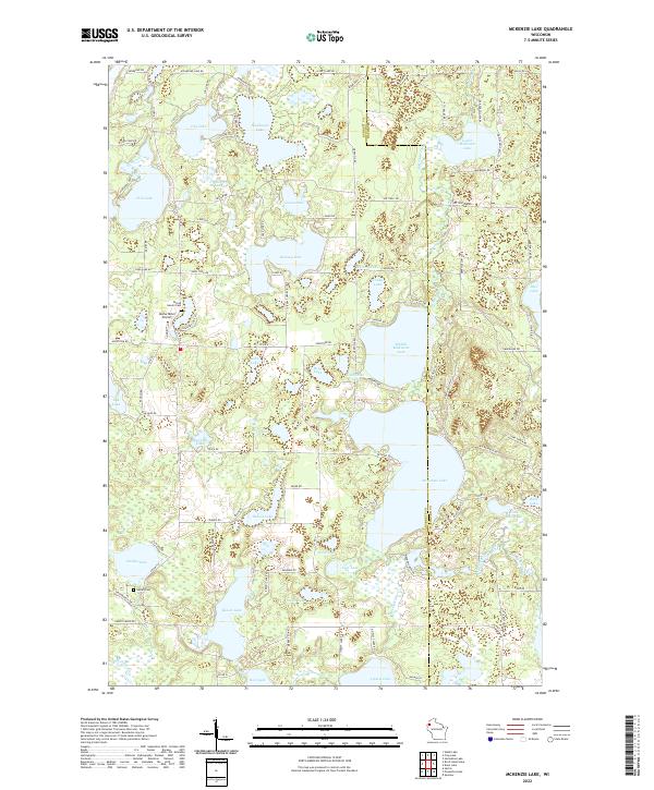
2022 McKenzie Lake
Burnett County, WI
2022 Monson Lake
Burnett County, WI
2022 Poquettes Lake
Burnett County, WI
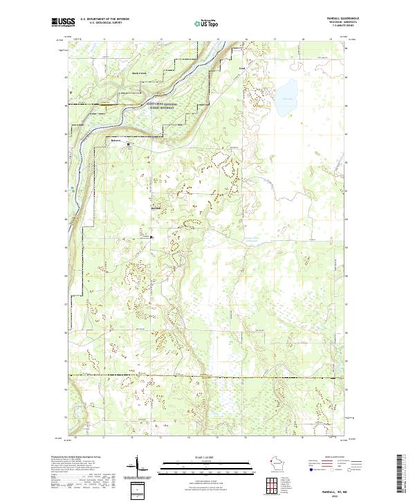
2022 Randall
Burnett County, WI
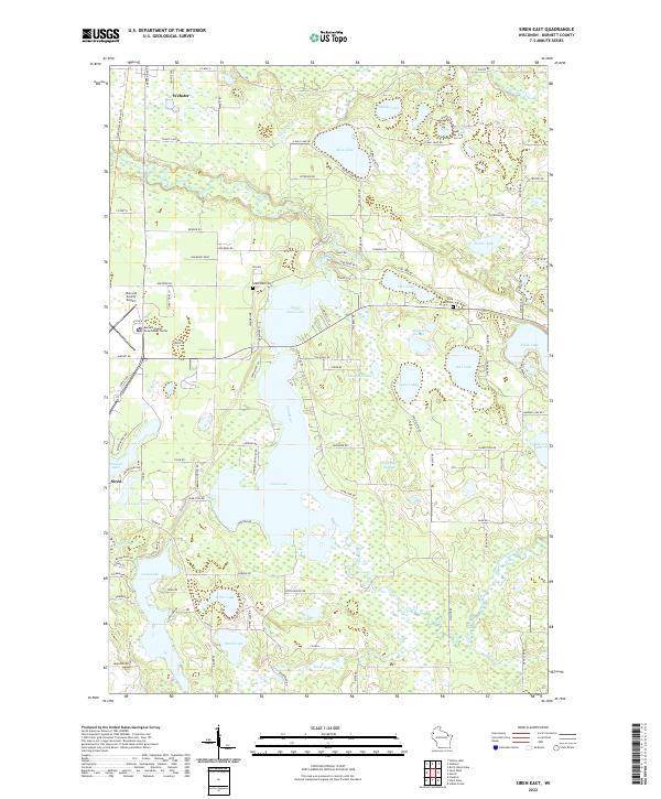
2022 Siren East
Burnett County, WI
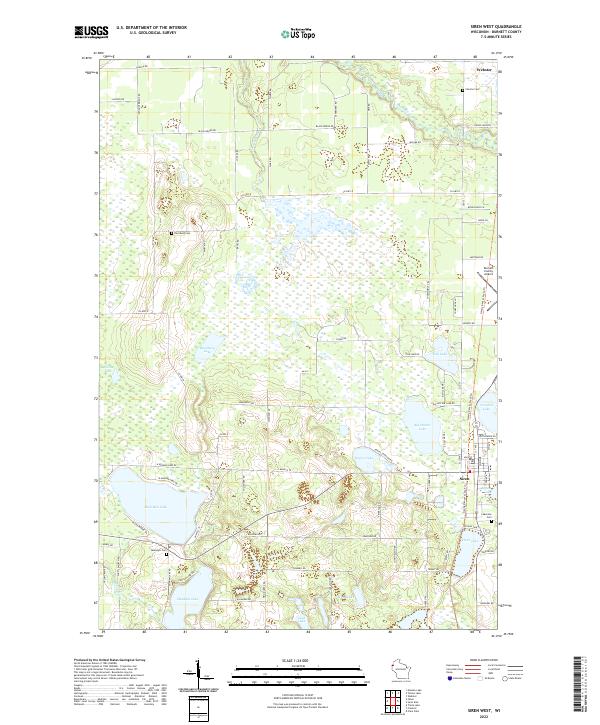
2022 Siren West
Burnett County, WI
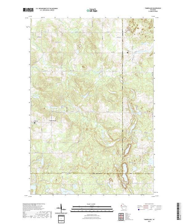
2022 Timberland
Burnett County, WI
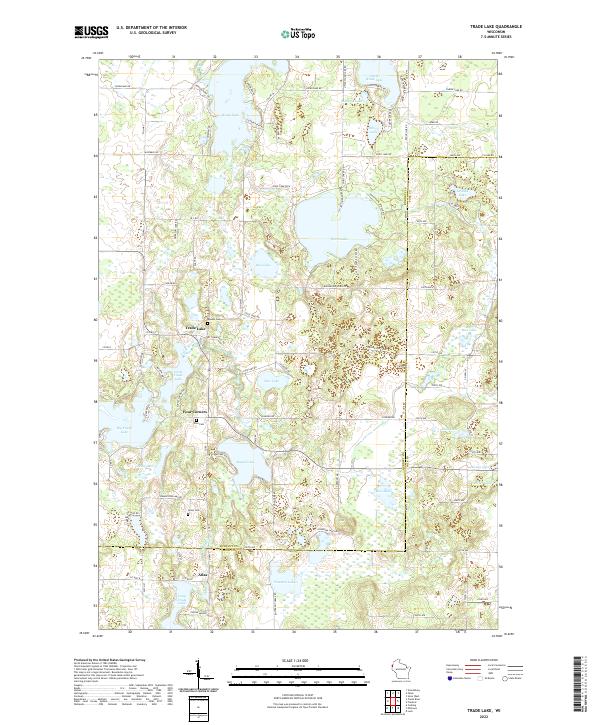
2022 Trade Lake
Burnett County, WI
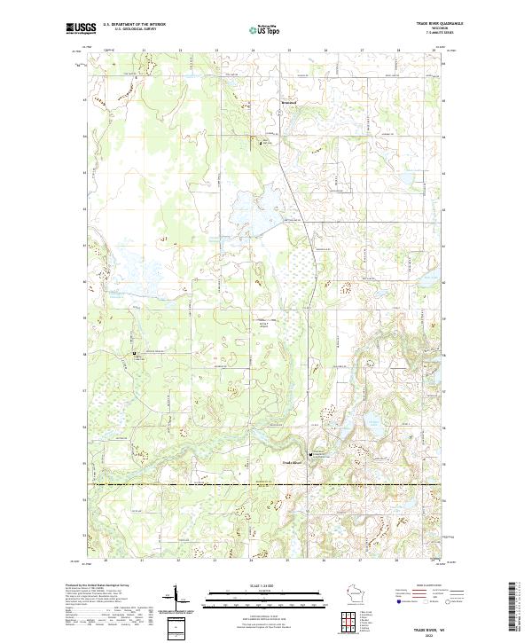
2022 Trade River
Burnett County, WI
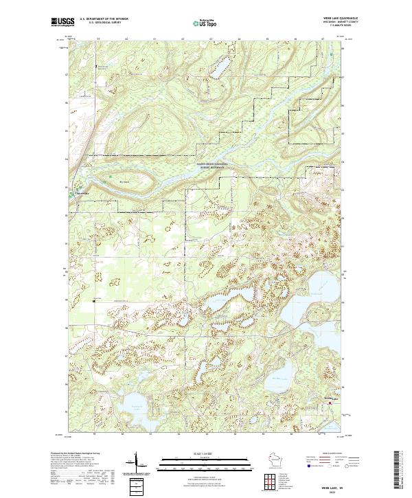
2022 Webb Lake
Burnett County, WI
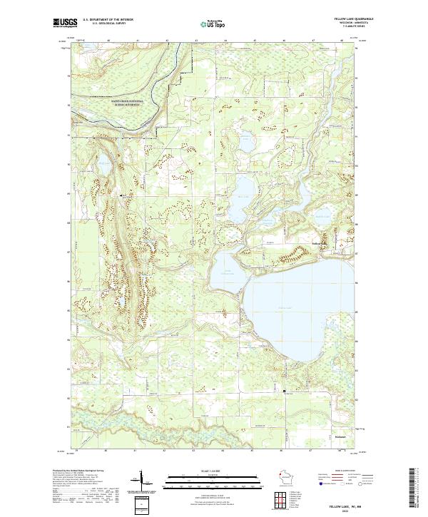
2022 Yellow Lake
Burnett County, WI