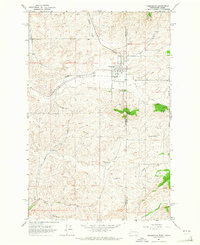
1964 Map of Farmington
USGS Topo · Published 1965About this map
Farmington sits at the heart of this mid-1960s survey, straddling the state line where Whitman County, Washington meets Latah County, Idaho. The landscape is defined by the winding course of Pine Creek and the sharp rise of prominent geological features like Stratton Butte and Palmer Butte. The area’s agrarian character and early transportation infrastructure are evident in the presence of both the Union Pacific and Great Northern rail lines, which provided vital links for the small settlements of the Palouse.
Find a feature on this map
20 named features on this map. Tap any name to fly to it.
Don’t see what you’re looking for? This feature index may not catch every label — zoom into the map to look around manually.
Map Details
Editions of this 1964 Farmington Map
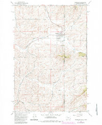
2 editions found
Other maps of this area

1903 · Oakesdale
USGS Topo · 1:125,000

1905 · Oakesdale
USGS Topo · 1:125,000

1910 · Pullman
USGS Topo · 1:125,000

1955 · Pullman
USGS Topo · 1:250,000

1955 · Spokane
USGS Topo · 1:250,000

1957 · Tensed
USGS Topo · 1:62,500

1958 · Spokane
USGS Topo · 1:250,000

1958 · Pullman
USGS Topo · 1:250,000

1960 · Potlatch
USGS Topo · 1:62,500

1964 · Oakesdale
USGS Topo · 1:24,000