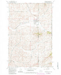
1964 Map of Farmington
USGS Topo · Published 1984About this map
Farmington sits at the nexus of the Washington and Idaho border, a community defined by its proximity to both the fertile Palouse hills and early western rail commerce. The Union Pacific and Burlington Northern railroads intersect south of the town center, highlighting a landscape where transportation once dictated local growth. To the south, the settlement of Walters and the isolated Silver Creek Cemetery offer researchers a look at rural burial grounds and smaller population centers outside the main town site. High points like Stratton Butte and Palmer Butte overlook the drainage systems of Pine Creek and Willow Creek. The map also captures the edge of M. M. McCroskey State Park along the state line, illustrating how public land and agricultural private holdings met during the mid-20th century.
Find a feature on this map
20 named features on this map. Tap any name to fly to it.
Don’t see what you’re looking for? This feature index may not catch every label — zoom into the map to look around manually.
Map Details
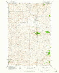
Editions of this 1964 Farmington Map
2 editions found
Other maps of this area

1903 · Oakesdale
USGS Topo · 1:125,000

1905 · Oakesdale
USGS Topo · 1:125,000

1910 · Pullman
USGS Topo · 1:125,000

1955 · Pullman
USGS Topo · 1:250,000

1955 · Spokane
USGS Topo · 1:250,000

1957 · Tensed
USGS Topo · 1:62,500

1958 · Spokane
USGS Topo · 1:250,000

1958 · Pullman
USGS Topo · 1:250,000

1960 · Potlatch
USGS Topo · 1:62,500

1964 · Oakesdale
USGS Topo · 1:24,000