Loading...
Loading map...1994 Map of Farmington
USGS Topo · Published 1997About this map
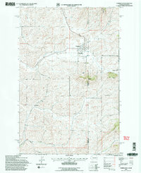
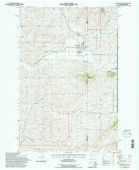
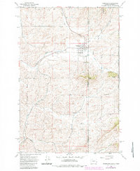
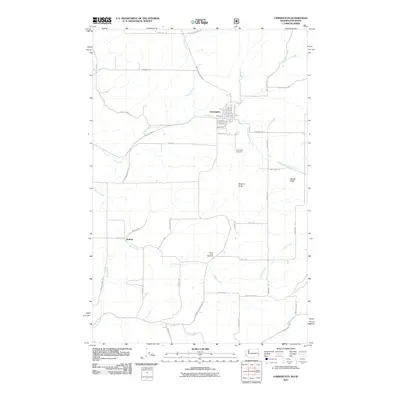
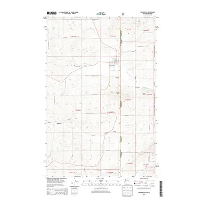
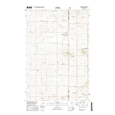
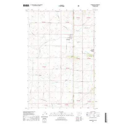
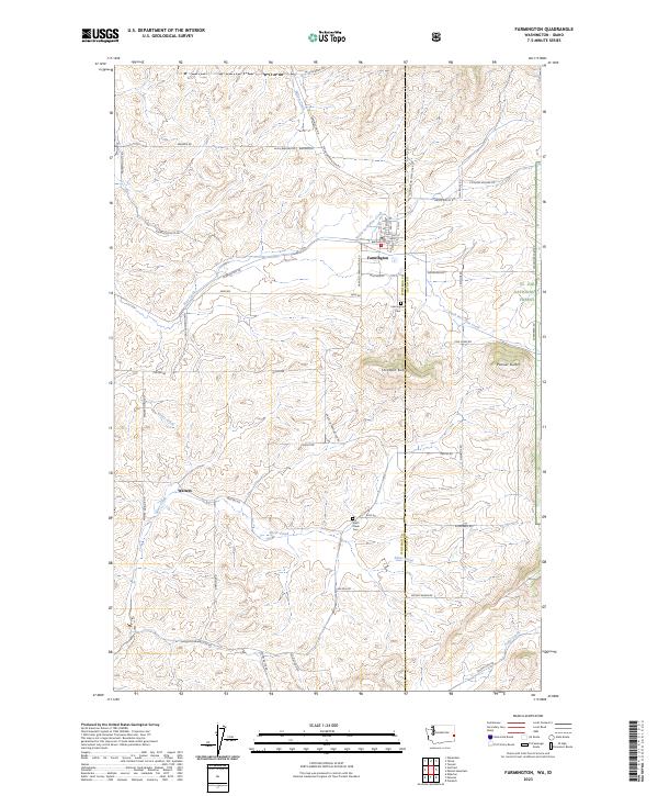
Farmington sits at the heart of this agricultural landscape in eastern Washington, where the grain-growing hills of Whitman County meet the Idaho border. The map illustrates a transportation-driven geography, anchored by the Union Pacific and Burlington Northern railroads. These lines once connected the small settlements like Walters and Farmington to regional markets, following the natural contours of the drainages.
Find a feature on this map
14 named features on this map. Tap any name to fly to it.
Don’t see what you’re looking for? This feature index may not catch every label — zoom into the map to look around manually.
Map Details
Date Portrayed1994
Date Published1997
PublisherU.S. Geological Survey
Map TypeTopographic
Scale1:24,000
Physical Dimensions22.1 x 27.1 inches
Editions of this 1994 Farmington Map
2 editions found
Historical Maps of Farmington Through Time
7 maps found
Featured Locations
Source Details
SourceU.S. Geological Survey
CopyrightPublic Domain