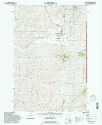
1994 Map of Farmington
USGS Topo · Published 1997About this map
Farmington sits at the heart of this landscape, positioned along the historic boundary between Washington and Idaho. This 1994 revision, based on photographs dating back to 1961, shows a region defined by the intersection of state lines and the rolling drainage of Pine Creek and Union Creek. The rail infrastructure of the Burlington Northern and Pacific lines carves through the terrain, illustrating the logistical importance of this borderland for Pacific Northwest transport.
Find a feature on this map
20 named features on this map. Tap any name to fly to it.
Don’t see what you’re looking for? This feature index may not catch every label — zoom into the map to look around manually.
Map Details
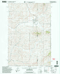
Editions of this 1994 Farmington Map
2 editions found
Other maps of this area

1903 · Oakesdale
USGS Topo · 1:125,000

1905 · Oakesdale
USGS Topo · 1:125,000

1910 · Pullman
USGS Topo · 1:125,000

1955 · Pullman
USGS Topo · 1:250,000

1955 · Spokane
USGS Topo · 1:250,000

1957 · Tensed
USGS Topo · 1:62,500

1958 · Spokane
USGS Topo · 1:250,000

1958 · Pullman
USGS Topo · 1:250,000

1960 · Potlatch
USGS Topo · 1:62,500

1964 · Oakesdale
USGS Topo · 1:24,000