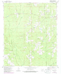
1973 Map of Farmville
USGS Topo · Published 1986About this map
Farmville and the surrounding timberlands of Bradley County are defined by a network of creeks and early transport routes in this mid-1970s survey. The landscape is heavily marked by the timber and gravel industries, featuring numerous Gravel Pits and the W & O V RR corridor in the northeast. Of particular interest to local historians is the Old Railroad Grade and the Banks Lookout Tower, reflecting the infrastructure required for managing these expansive woodlands.
Find a feature on this map
31 named features on this map. Tap any name to fly to it.
Don’t see what you’re looking for? This feature index may not catch every label — zoom into the map to look around manually.
Map Details
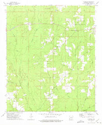
Editions of this 1973 Farmville Map
2 editions found
Other maps of this area

1934 · Ingalls
USGS Topo · 1:48,000

1934 · Moro Bay
USGS Topo · 1:62,500

1937 · Ingalls
USGS Topo · 1:62,500

1938 · Moro Bay
USGS Topo · 1:62,500

1939 · Moro Bay
USGS Topo · 1:62,500

1939 · Ingalls
USGS Topo · 1:62,500

1953 · El Dorado
USGS Topo · 1:250,000

1957 · El Dorado
USGS Topo · 1:250,000

1958 · El Dorado
USGS Topo · 1:250,000

1960 · El Dorado
USGS Topo · 1:250,000