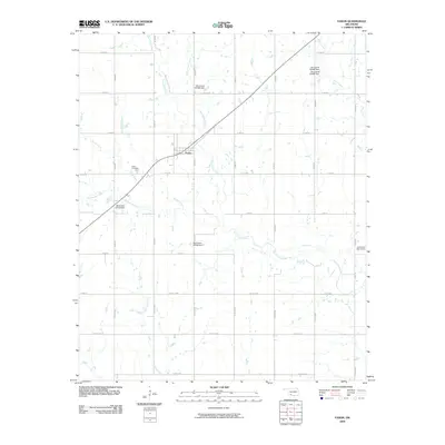
2009 Map of Faxon
USGS Topo · Published 2009About this map
Faxon stands as the central settlement in this portion of Comanche County, situated amidst a dense network of sectional roads and natural waterways. The landscape is defined by the drainage patterns of West Cache Creek and Blue Beaver Creek, which wind through the terrain alongside several smaller tributaries like Spring Creek and Persimmon Creek. This 2009 survey highlights a rural infrastructure increasingly managed by water control, as evidenced by numerous unnamed structures such as Oknoname 031068 Dam and the Jack Creek Site 4 Dam to the east. Local history and genealogy are anchored at the Faxon Cemetery, located just west of the town center. The map reveals a transition from traditional land divisions to a modern road system, including Hurst Rd and an extensive grid of county routes that connect these Oklahoma plains.
Find a feature on this map
39 named features on this map. Tap any name to fly to it.
Don’t see what you’re looking for? This feature index may not catch every label — zoom into the map to look around manually.
Map Details
Editions of this 2009 Faxon Map
This is the sole edition of this map. No revisions or reprints were ever made.
Other maps of this area

1937 · Cache
USGS Topo · 1:48,000

1942 · Cache
USGS Topo · 1:62,500

1946 · Lawton
USGS Topo · 1:62,500

1955 · Lawton
USGS Topo · 1:250,000

1956 · Post Oak Creek
USGS Topo · 1:24,000
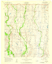
1956 · Taupa
USGS Topo · 1:24,000

1956 · Lawton
USGS Topo · 1:24,000
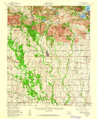
1956 · Cache
USGS Topo · 1:62,500

1956 · Lawton
USGS Topo · 1:62,500

1962 · Chattanooga
USGS Topo · 1:62,500