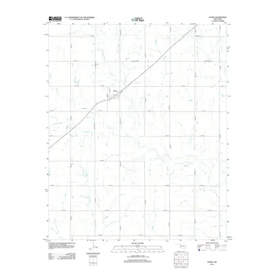
2012 Map of Faxon
USGS Topo · Published 2012About this map
Faxon stands as the central hub of this Comanche County landscape, situated along the diagonal path of Old Hwy. The town's grid is small but distinct, featuring 6th St, 8th St, and B St as its primary local arteries. Just southwest of the settlement, Faxon Cem serves as a vital point for genealogists and local historians tracing family roots in this corner of Oklahoma.
Find a feature on this map
32 named features on this map. Tap any name to fly to it.
Don’t see what you’re looking for? This feature index may not catch every label — zoom into the map to look around manually.
Map Details
Editions of this 2012 Faxon Map
This is the sole edition of this map. No revisions or reprints were ever made.
Other maps of this area

1937 · Cache
USGS Topo · 1:48,000

1942 · Cache
USGS Topo · 1:62,500

1946 · Lawton
USGS Topo · 1:62,500

1955 · Lawton
USGS Topo · 1:250,000

1956 · Post Oak Creek
USGS Topo · 1:24,000
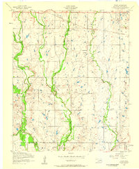
1956 · Taupa
USGS Topo · 1:24,000

1956 · Lawton
USGS Topo · 1:24,000
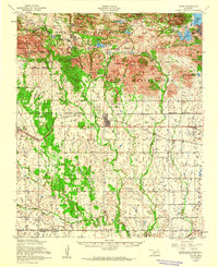
1956 · Cache
USGS Topo · 1:62,500

1956 · Lawton
USGS Topo · 1:62,500

1962 · Chattanooga
USGS Topo · 1:62,500