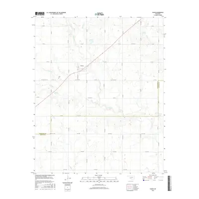
2016 Map of Faxon
USGS Topo · Published 2016About this map
Faxon sits at the center of a precise grid of rural section roads in southwestern Oklahoma, where the prairie landscape is carved by a network of seasonal drainages. This high-resolution study shows a transition from the agricultural uplands down toward the Comanche Co Cotton Co line. Water management is a defining characteristic of this terrain, evidenced by several numbered reservoirs such as 031068 Reservoir and 031064 Reservoir that dot the tributaries of Blue Beaver Cr and W Cache Cr. Local history is anchored by the Faxon Cem located just southwest of the town site along SW Logue Chapel Rd. The map also traces the paths of numerous named creeks including Spring Cr, Persimmon Cr, and Samstag Cr, illustrating the complex drainage patterns that influence land use in this part of Comanche County.
Find a feature on this map
45 named features on this map. Tap any name to fly to it.
Don’t see what you’re looking for? This feature index may not catch every label — zoom into the map to look around manually.
Map Details
Editions of this 2016 Faxon Map
This is the sole edition of this map. No revisions or reprints were ever made.
Other maps of this area

1937 · Cache
USGS Topo · 1:48,000

1942 · Cache
USGS Topo · 1:62,500

1946 · Lawton
USGS Topo · 1:62,500

1955 · Lawton
USGS Topo · 1:250,000

1956 · Post Oak Creek
USGS Topo · 1:24,000
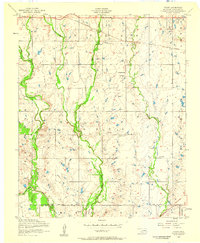
1956 · Taupa
USGS Topo · 1:24,000

1956 · Lawton
USGS Topo · 1:24,000
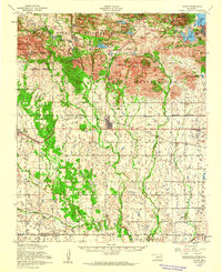
1956 · Cache
USGS Topo · 1:62,500

1956 · Lawton
USGS Topo · 1:62,500

1962 · Chattanooga
USGS Topo · 1:62,500