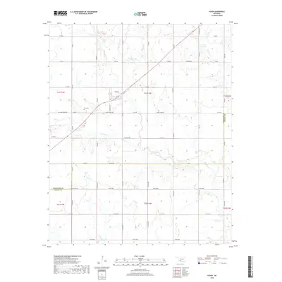
2018 Map of Faxon
USGS Topo · Published 2018About this map
Faxon sits at the heart of this southwestern Oklahoma landscape, where the prairie is defined by a rhythmic grid of rural routes like Logue Chapel Rd and Jack Rabbit Rd. The town itself is compactly structured around C St and 8th St, serving as a focal point for the surrounding agricultural community. To the southwest of the main settlement lies the Faxon Cem, a significant site for local genealogical research.
Find a feature on this map
46 named features on this map. Tap any name to fly to it.
Don’t see what you’re looking for? This feature index may not catch every label — zoom into the map to look around manually.
Map Details
Editions of this 2018 Faxon Map
This is the sole edition of this map. No revisions or reprints were ever made.
Other maps of this area

1937 · Cache
USGS Topo · 1:48,000

1942 · Cache
USGS Topo · 1:62,500

1946 · Lawton
USGS Topo · 1:62,500

1955 · Lawton
USGS Topo · 1:250,000

1956 · Post Oak Creek
USGS Topo · 1:24,000
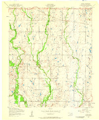
1956 · Taupa
USGS Topo · 1:24,000

1956 · Lawton
USGS Topo · 1:24,000
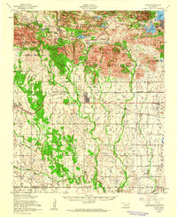
1956 · Cache
USGS Topo · 1:62,500

1956 · Lawton
USGS Topo · 1:62,500

1962 · Chattanooga
USGS Topo · 1:62,500