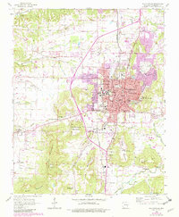
1958 Map of Fayetteville
USGS Topo · Published 1982About this map
University of Arkansas anchors the central landscape of this 1958 survey, showing the campus and surrounding residential growth of Fayetteville before the significant suburban expansions of the late 20th century. The city's cultural and civic identity is marked by the presence of the Veterans Hospital, the Western Methodist Assembly, and several historic burial grounds including the National Cem and Confederate Cem. Transportation and commerce are defined by the St Louis-San Francisco Railroad and the nearby Drake Field.
Find a feature on this map
66 named features on this map. Tap any name to fly to it.
Don’t see what you’re looking for? This feature index may not catch every label — zoom into the map to look around manually.
Map Details
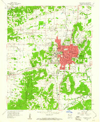
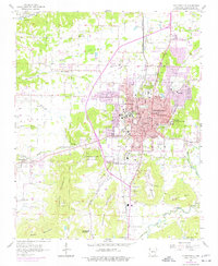
Editions of this 1958 Fayetteville Map
4 editions found
Other maps of this area

1898 · Winslow
USGS Topo · 1:125,000

1899 · Fayetteville
USGS Topo · 1:125,000

1901 · Winslow
USGS Topo · 1:125,000

1901 · Fayetteville
USGS Topo · 1:125,000

1904 · Fayetteville
USGS Topo · 1:125,000

1946 · Fort Smith
USGS Topo · 1:250,000

1954 · Tulsa
USGS Topo · 1:250,000

1958 · Sonora
USGS Topo · 1:24,000

1958 · Fayetteville
USGS Topo · 1:24,000

1958 · Elkins
USGS Topo · 1:24,000