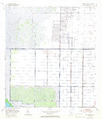
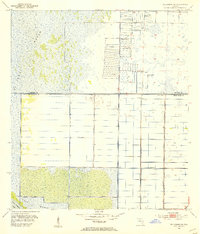
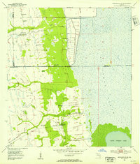
1953 Map of Fellsmere SW
USGS Topo · Published 1967About this map
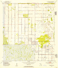
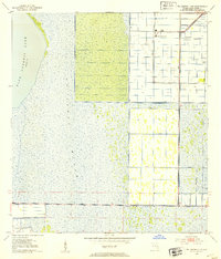
St Johns Marsh dominates this mid-century landscape on the border of Brevard and Indian River County, where the wet prairies of the St. Johns River headwaters were undergoing intensive water management. The survey documents a transitioning environment where natural wetlands meet a rigid grid of agricultural infrastructure, characterized by an extensive network of Levee systems and Spoil Banks.
Find a feature on this map
8 named features on this map. Tap any name to fly to it.
Don’t see what you’re looking for? This feature index may not catch every label — zoom into the map to look around manually.
Map Details
Editions of this 1953 Fellsmere SW Map
3 editions found
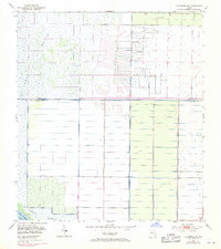
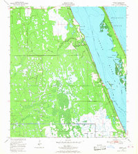
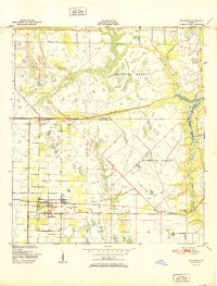
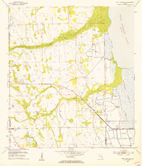
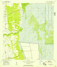
Other maps of this area

1949 · Fellsmere
USGS Topo · 1:24,000
1949 · Grant
USGS Topo · 1:24,000
1951 · Fellsmere
USGS Topo · 1:24,000

1951 · Grant
USGS Topo · 1:24,000
1953 · Fellsmere SW
USGS Topo · 1:24,000
1953 · Fellsmere NW
USGS Topo · 1:24,000
1953 · Fort Drum NE
USGS Topo · 1:24,000
1953 · Kenansville NE
USGS Topo · 1:24,000
1953 · Kenansville SE
USGS Topo · 1:24,000
1953 · Fellsmere 4 NW
USGS Topo · 1:24,000