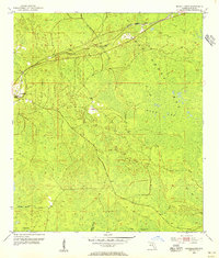
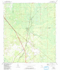
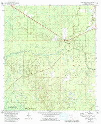
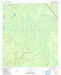
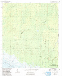
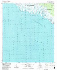
1954 Map of Fenholloway
USGS Topo · Published 1955This historical map portrays the area of Fenholloway in 1954, primarily covering Taylor County. Featuring a scale of 1:24000, this map provides a highly detailed snapshot of the terrain, roads, buildings, counties, and historical landmarks in the Fenholloway region at the time. Published in 1955, it is one of 3 known editions of this map due to revisions or reprints.
Find a feature on this map
14 named features on this map. Tap any name to fly to it.
Don’t see what you’re looking for? This feature index may not catch every label — zoom into the map to look around manually.
Map Details
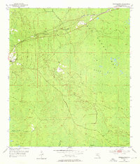
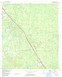
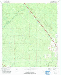
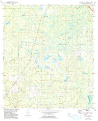
Editions of this 1954 Fenholloway Map
3 editions found
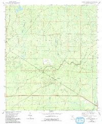
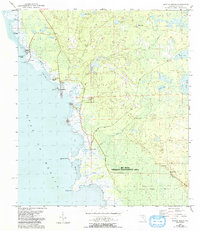
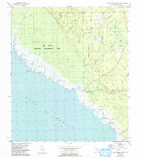
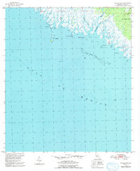
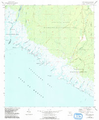
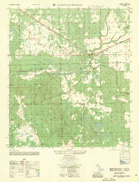
Historical Maps of Taylor County Through Time
19 maps found
1952 Secotan
Taylor County, FL
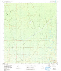
1954 Boyd
Taylor County, FL
1954 Clara
Taylor County, FL
1954 Crooked Point
Taylor County, FL
1954 Day NW
Taylor County, FL
1954 Fenholloway
Taylor County, FL
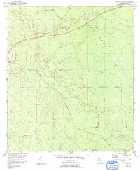
1954 Hampton Springs
Taylor County, FL
1954 Johnson Hammock
Taylor County, FL
1954 Keaton Beach
Taylor County, FL
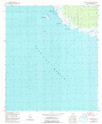
1954 Okefenokee Slough
Taylor County, FL
1954 Salem Sw
Taylor County, FL
1954 Salem
Taylor County, FL
1954 Secotan
Taylor County, FL
1954 Warrior Swamp
Taylor County, FL
1955 Manlin Hammock
Taylor County, FL
1955 Rock Islands
Taylor County, FL
1955 Snipe Island
Taylor County, FL
1956 Hampton Springs
Taylor County, FL
1994 Rock Islands
Taylor County, FL