
1913 Map of Fergus Falls
USGS Topo · Published 1913About this map
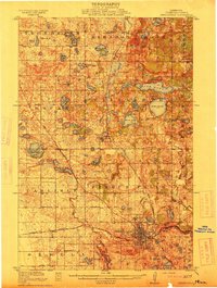
Fergus Falls serves as the regional anchor in this 1913 survey, where the confluence of the Otter Tail River and Pelican River drives the local economy. The landscape is heavily dotted with a staggering number of numbered schoolhouses, such as School No 203 and School No 115, reflecting the dense rural settlement pattern of the early 20th century. Outside the city center, the State Insane Asylum stands as a significant landmark of the era's social infrastructure.
Find a feature on this map
67 named features on this map. Tap any name to fly to it.
Don’t see what you’re looking for? This feature index may not catch every label — zoom into the map to look around manually.
Map Details
Editions of this 1913 Fergus Falls Map
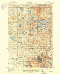
3 editions found
Other maps of this area

1910 · Wendell
USGS Topo · 1:62,500

1912 · Vergas
USGS Topo · 1:62,500

1913 · Ashby
USGS Topo · 1:62,500

1913 · Wendell
USGS Topo · 1:62,500

1914 · Pelican Rapids
USGS Topo · 1:62,500

1915 · Underwood
USGS Topo · 1:62,500

1915 · Vergas
USGS Topo · 1:62,500

1917 · Pelican Rapids
USGS Topo · 1:62,500

1919 · Rothsay
USGS Topo · 1:62,500

1919 · Barnesville
USGS Topo · 1:62,500