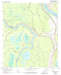
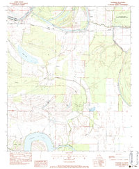
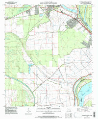
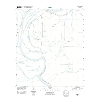
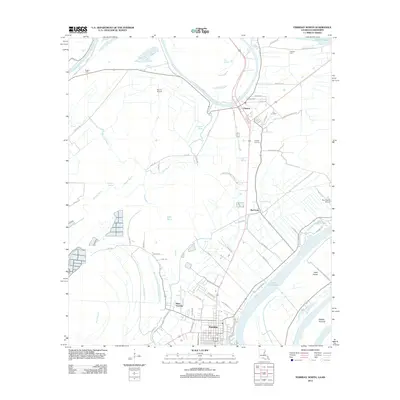
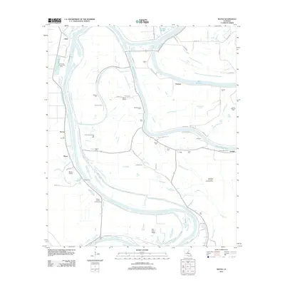
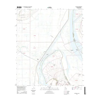
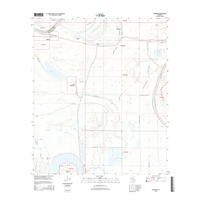
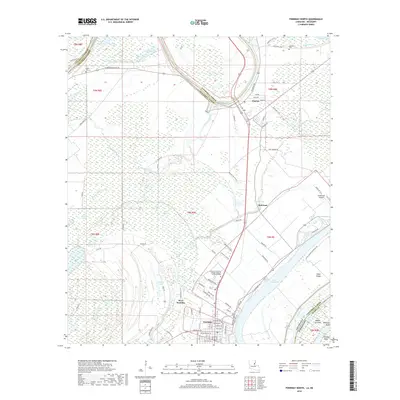
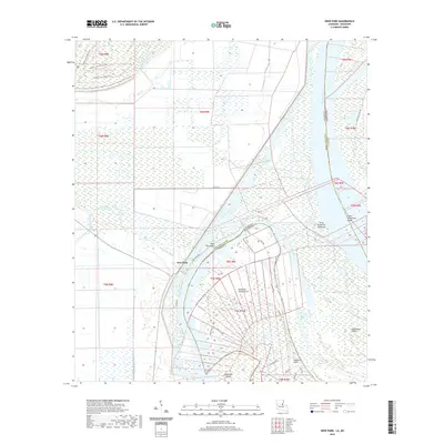
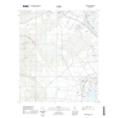
1983 Map of Ferriday North
USGS Topo · Published 1984About this map
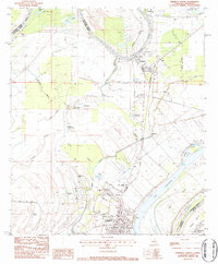
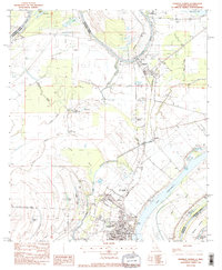
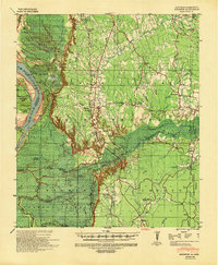
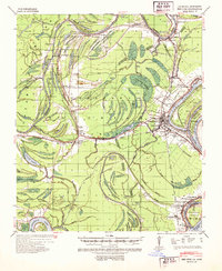
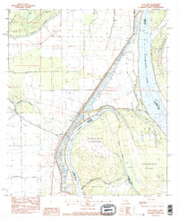
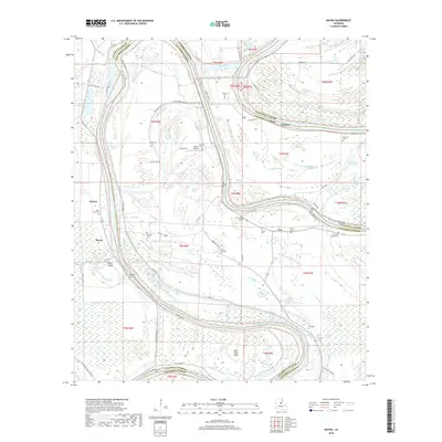
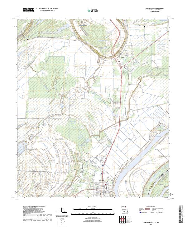
Ferriday serves as the focal point of this Mississippi River delta survey, where the Missouri Pacific railroad corridor intersects a landscape defined by complex water systems and agricultural levees. The town's grid, featuring Virginia Ave and Georgia Ave, is anchored by essential local institutions like the Parish Hospital and Parish Trade Sch. Outside the main settlement, the terrain transitions into the backwater basins of Panola Brake and Opossum Bayou, punctuated by smaller community nodes such as Clayton and Red Gum. This 1983 edition highlights the area's ongoing relationship with its geography, documenting a network of Landing Strips and the prominent Rd On Levee. Genealogy researchers will find localized landmarks including Rose Hill Ch and several burial sites like Rogers Cem and Calhoun Cem, which help pin down family locations across Concordia Parish.
Find a feature on this map
45 named features on this map. Tap any name to fly to it.
Don’t see what you’re looking for? This feature index may not catch every label — zoom into the map to look around manually.
Map Details
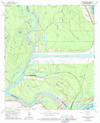
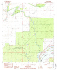
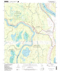
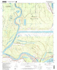
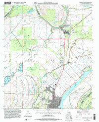
Editions of this 1983 Ferriday North Map
2 editions found
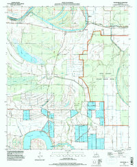
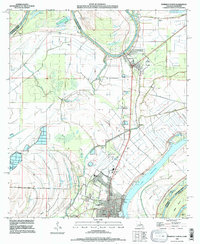
Historical Maps of Ferriday Through Time
79 maps found

1909 Sycamore Landing
Concordia Parish, LA

1939 Artonish
Concordia Parish, LA

1939 Deer Park
Concordia Parish, LA
1939 Kingston
Concordia Parish, LA
1939 Red Gum
Concordia Parish, LA

1954 Artonish
Concordia Parish, LA

1955 Artonish
Concordia Parish, LA
1965 Lower Sunk Lake
Concordia Parish, LA
1965 Turnbull Island
Concordia Parish, LA
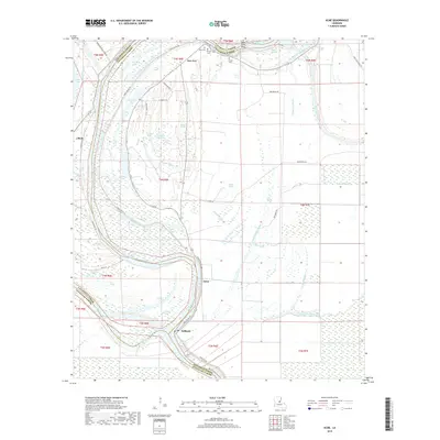
1982 Acme
Concordia Parish, LA
1982 Mayna
Concordia Parish, LA
1983 Deer Park
Concordia Parish, LA
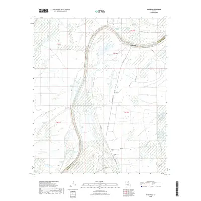
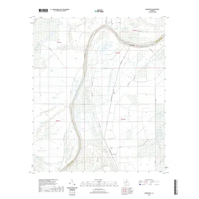
1983 Dunbarton
Concordia Parish, LA
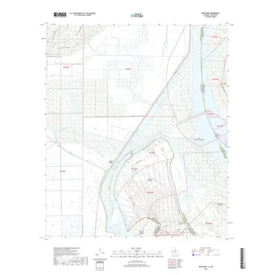
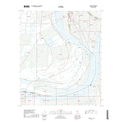
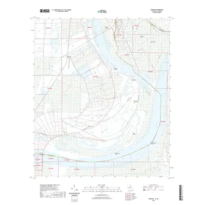
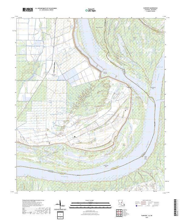
1983 Fairview
Concordia Parish, LA
1983 Ferriday North
Concordia Parish, LA
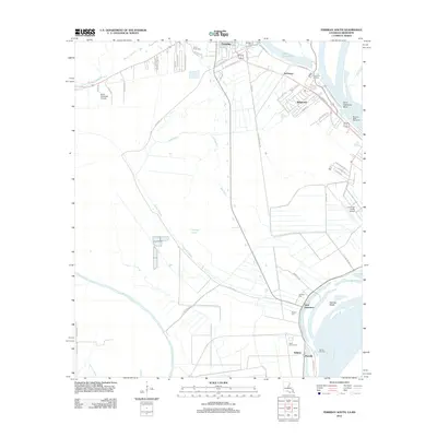
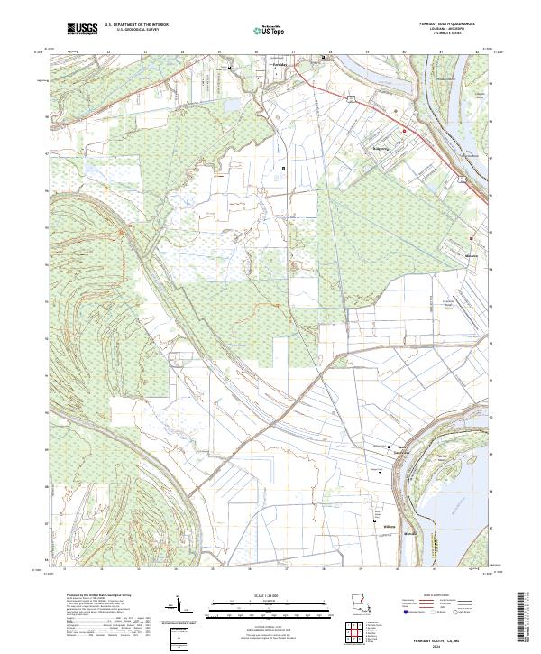
1983 Ferriday South
Concordia Parish, LA
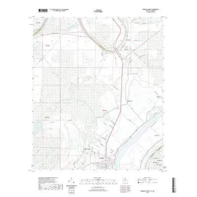
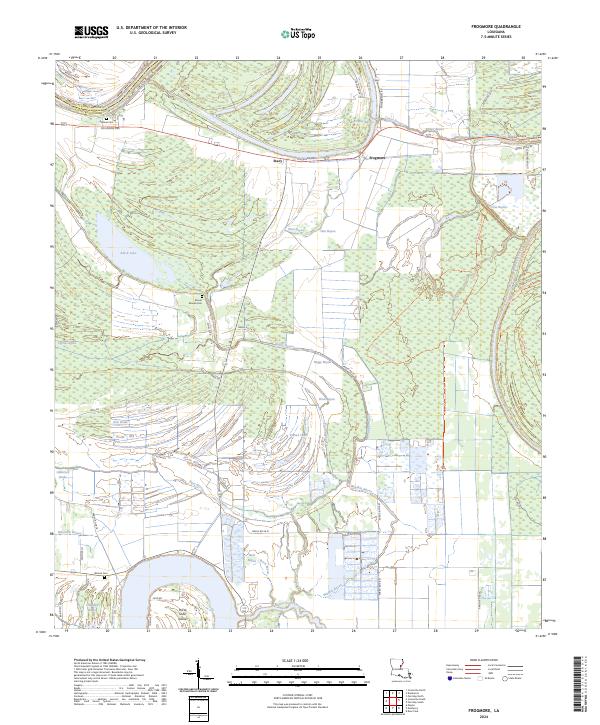
1983 Frogmore
Concordia Parish, LA
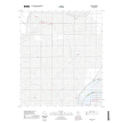
1983 Slocum
Concordia Parish, LA
1994 Frogmore
Concordia Parish, LA
1995 Ferriday North
Concordia Parish, LA
1995 Ferriday South
Concordia Parish, LA
1996 Lower Sunk Lake
Concordia Parish, LA
1996 Turnbull Island
Concordia Parish, LA
1999 Ferriday North
Concordia Parish, LA
2012 Acme
Concordia Parish, LA
2012 Deer Park
Concordia Parish, LA
2012 Dunbarton
Concordia Parish, LA
2012 Fairview
Concordia Parish, LA
2012 Ferriday North
Concordia Parish, LA
2012 Ferriday South
Concordia Parish, LA
2012 Frogmore
Concordia Parish, LA
2012 Lower Sunk Lake
Concordia Parish, LA
2012 Mayna
Concordia Parish, LA
2012 Slocum
Concordia Parish, LA
2012 Turnbull Island
Concordia Parish, LA
2015 Acme
Concordia Parish, LA
2015 Deer Park
Concordia Parish, LA
2015 Dunbarton
Concordia Parish, LA
2015 Fairview
Concordia Parish, LA

2015 Ferriday North
Concordia Parish, LA
2015 Ferriday South
Concordia Parish, LA
2015 Frogmore
Concordia Parish, LA
2015 Lower Sunk Lake
Concordia Parish, LA
2015 Mayna
Concordia Parish, LA
2015 Slocum
Concordia Parish, LA

2015 Turnbull Island
Concordia Parish, LA
2018 Acme
Concordia Parish, LA
2018 Deer Park
Concordia Parish, LA
2018 Dunbarton
Concordia Parish, LA
2018 Fairview
Concordia Parish, LA
2018 Ferriday North
Concordia Parish, LA
2018 Ferriday South
Concordia Parish, LA
2018 Frogmore
Concordia Parish, LA
2018 Lower Sunk Lake
Concordia Parish, LA
2018 Mayna
Concordia Parish, LA
2018 Slocum
Concordia Parish, LA
2018 Turnbull Island
Concordia Parish, LA
2020 Acme
Concordia Parish, LA
2020 Deer Park
Concordia Parish, LA
2020 Dunbarton
Concordia Parish, LA
2020 Fairview
Concordia Parish, LA
2020 Ferriday North
Concordia Parish, LA
2020 Ferriday South
Concordia Parish, LA
2020 Frogmore
Concordia Parish, LA
2020 Lower Sunk Lake
Concordia Parish, LA
2020 Mayna
Concordia Parish, LA
2020 Slocum
Concordia Parish, LA

2020 Turnbull Island
Concordia Parish, LA
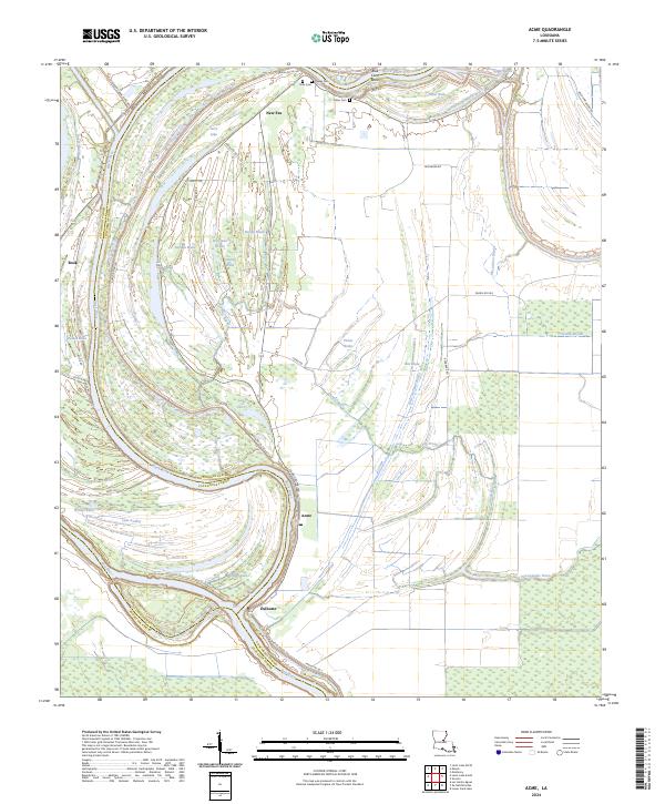
2024 Acme
Concordia Parish, LA
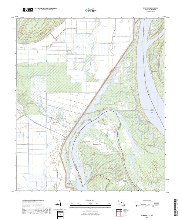
2024 Deer Park
Concordia Parish, LA
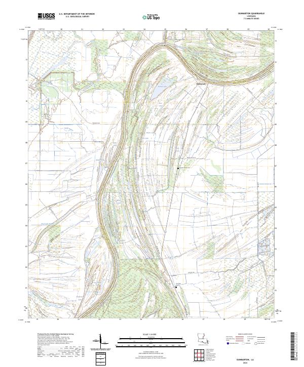
2024 Dunbarton
Concordia Parish, LA
2024 Fairview
Concordia Parish, LA
2024 Ferriday North
Concordia Parish, LA
2024 Ferriday South
Concordia Parish, LA
2024 Frogmore
Concordia Parish, LA
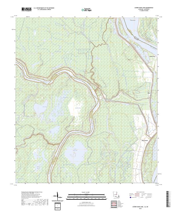
2024 Lower Sunk Lake
Concordia Parish, LA
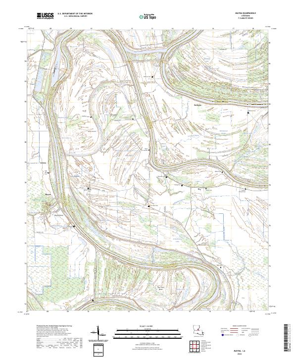
2024 Mayna
Concordia Parish, LA
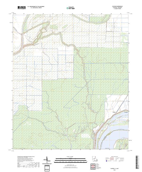
2024 Slocum
Concordia Parish, LA
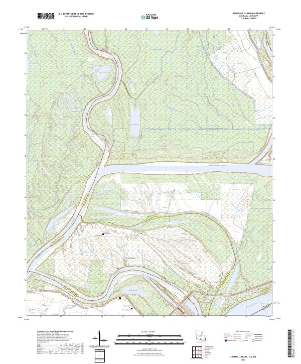
2024 Turnbull Island
Concordia Parish, LA