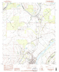
1983 Map of Ferriday North
USGS Topo · Published 1984About this map
Ferriday serves as a regional hub in this 1980s-era study, situated at the intersection of significant river drainage and rail infrastructure. The Missouri Pacific railroad corridor anchors the eastern landscape, connecting the town of Clayton and the smaller settlement of Red Gum along the banks of the Tensas River. The map reveals a high concentration of public services and social infrastructure in the southern portion of the quadrangle, including the Parish Hospital, a Library, and the Parish Trade Sch.
Find a feature on this map
45 named features on this map. Tap any name to fly to it.
Don’t see what you’re looking for? This feature index may not catch every label — zoom into the map to look around manually.
Map Details
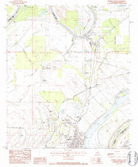
Editions of this 1983 Ferriday North Map
2 editions found
Other maps of this area

1909 · Sycamore Landing
USGS Topo · 1:24,000

1909 · Vidalia
USGS Topo · 1:24,000

1921 · Natchez
USGS Topo · 1:48,000

1922 · Natchez
USGS Topo · 1:62,500

1939 · Red Gum
USGS Topo · 1:62,500

1939 · Natchez
USGS Topo · 1:62,500

1939 · Locust Ridge
USGS Topo · 1:62,500

1941 · Sicily Island
USGS Topo · 1:62,500

1953 · Natchez
USGS Topo · 1:250,000

1956 · Natchez
USGS Topo · 1:250,000