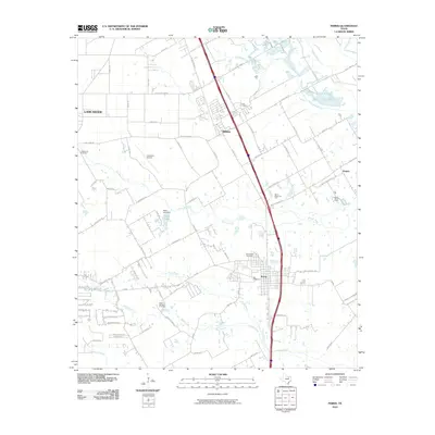
2010 Map of Ferris
USGS Topo · Published 2010About this map
Ferris and Wilmer anchor this landscape south of the Dallas metroplex, where suburban expansion meets the established creek drainages of the Trinity River basin. The geography is defined by a series of waterways, including Tenmile Creek, Bear Creek, and Long Branch, which dictate the placement of local infrastructure and older settlements like Patrick. Transportation corridors like S Dallas Ave and N Goode Rd parallel the major north-south transit spine, illustrating the area's development as a logistics and residential hub.
Find a feature on this map
71 named features on this map. Tap any name to fly to it.
Don’t see what you’re looking for? This feature index may not catch every label — zoom into the map to look around manually.
Map Details
Editions of this 2010 Ferris Map
This is the sole edition of this map. No revisions or reprints were ever made.
Other maps of this area

1891 · Dallas
USGS Topo · 1:125,000

1893 · Dallas
USGS Topo · 1:125,000

1954 · Dallas
USGS Topo · 1:250,000

1956 · Ennis
USGS Topo · 1:62,500

1958 · Dallas
USGS Topo · 1:250,000

1958 · Hutchins
USGS Topo · 1:24,000

1958 · Oak Cliff
USGS Topo · 1:24,000

1959 · Lancaster
USGS Topo · 1:24,000

1959 · Seagoville
USGS Topo · 1:24,000

1959 · Ferris
USGS Topo · 1:24,000