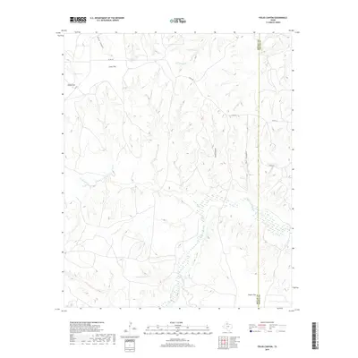
2019 Map of Fields Canyon
USGS Topo · Published 2019About this map
The Middle Pease River winds through the southern portion of this landscape, carving through a region defined by extensive canyon systems and wide upland flats. The border between Motley and Cottle counties bisects the terrain, separating the drainage of Fields Canyon and Bar Canyon from the surrounding plateaus. Local ranching and land use are evidenced by named landmarks such as Leary Flat, Baines Flat, and Cooper Flat, which represent the higher, level ground between the breaks. Water sources are critical in this arid environment, marked by features like Gyp Tank and various intermittent streams including Turtle Hole Cr, Blue Lake Cr, and Bitter Lake Cr. The road network is sparse, consisting primarily of Co Rd 240 and FM 94, which provide access across the rugged breaks and canyons of the Texas Panhandle.
Find a feature on this map
18 named features on this map. Tap any name to fly to it.
Don’t see what you’re looking for? This feature index may not catch every label — zoom into the map to look around manually.
Map Details
Editions of this 2019 Fields Canyon Map
This is the sole edition of this map. No revisions or reprints were ever made.
Other maps of this area

1954 · Plainview
USGS Topo · 1:250,000

1958 · Plainview
USGS Topo · 1:250,000

1966 · Fields Canyon
USGS Topo · 1:24,000

1966 · Ballard Camp
USGS Topo · 1:24,000

1966 · Cee Vee
USGS Topo · 1:24,000

1966 · Tee Pee City
USGS Topo · 1:24,000

1966 · Devils Canyon
USGS Topo · 1:24,000

1967 · Tell South
USGS Topo · 1:24,000

1967 · Cottonwood Camp
USGS Topo · 1:24,000

1967 · Turtle Hole Camp
USGS Topo · 1:24,000