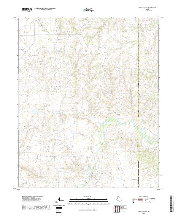
2022 Map of Fields Canyon
USGS Topo · Published 2022About this map
The Middle Pease River meanders across this West Texas landscape, cutting through the eastern edge of the High Plains where the terrain breaks into a complex network of canyons and flats. This 2022 survey documents the boundary between Motley and Cottle counties, showing a region defined by its hydrography and grazing land. The drainage system is particularly intricate, featuring named tributaries such as Bitter Lake Cr, Joe Lake Cr, and Turtle Hole Cr.
Find a feature on this map
18 named features on this map. Tap any name to fly to it.
Don’t see what you’re looking for? This feature index may not catch every label — zoom into the map to look around manually.
Map Details
Editions of this 2022 Fields Canyon Map
This is the sole edition of this map. No revisions or reprints were ever made.
Other maps of this area

1954 · Plainview
USGS Topo · 1:250,000

1958 · Plainview
USGS Topo · 1:250,000

1966 · Fields Canyon
USGS Topo · 1:24,000

1966 · Ballard Camp
USGS Topo · 1:24,000

1966 · Cee Vee
USGS Topo · 1:24,000

1966 · Tee Pee City
USGS Topo · 1:24,000

1966 · Devils Canyon
USGS Topo · 1:24,000

1967 · Tell South
USGS Topo · 1:24,000

1967 · Cottonwood Camp
USGS Topo · 1:24,000

1967 · Turtle Hole Camp
USGS Topo · 1:24,000