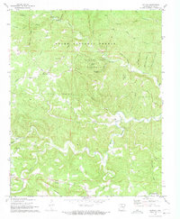
1972 Map of Fiftysix
USGS Topo · Published 1973About this map
The Ozark National Forest dominates this section of Stone County, where the topography is defined by the winding paths of North Sylamore Creek and South Sylamore Creek. The small community of Fiftysix sits atop the ridges, serving as a gateway to the subterranean wonders of Blanchard Caverns and the Blanchard Springs Recreation Area. The landscape is a network of hollows and creek beds, including Gunner Hollow and Roasting Ear Creek, where early settlers established small churches and family burial grounds.
Find a feature on this map
48 named features on this map. Tap any name to fly to it.
Don’t see what you’re looking for? This feature index may not catch every label — zoom into the map to look around manually.
Map Details
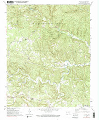
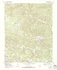
Editions of this 1972 Fiftysix Map
3 editions found
Other maps of this area

1890 · Mountain Home
USGS Topo · 1:125,000

1891 · Mountain Home
USGS Topo · 1:125,000

1892 · Mountain View
USGS Topo · 1:125,000

1894 · Mountain View
USGS Topo · 1:125,000

1894 · Mountain Home
USGS Topo · 1:125,000

1945 · Harrison
USGS Topo · 1:250,000

1949 · Harrison
USGS Topo · 1:250,000

1954 · Harrison
USGS Topo · 1:250,000

1956 · Russellville
USGS Topo · 1:250,000

1958 · Harrison
USGS Topo · 1:250,000