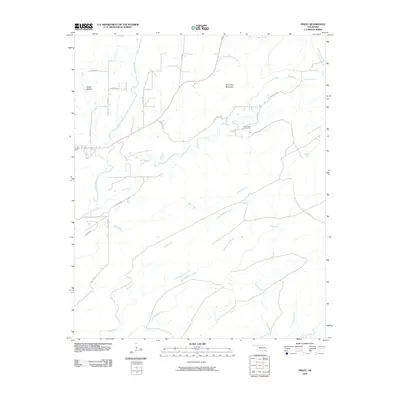
2009 Map of Finley
USGS Topo · Published 2009About this map
One Creek Cemetery and the waters of One Creek anchor this rural landscape in the southeastern Oklahoma hills. The terrain is defined by substantial drainage networks including Big Waterhole Creek, Little Waterhole Creek, and Bitter Creek, which carve through the land south of Roundtop Mountain. Local transit is marked by a network of rural routes with evocative names like Bug Tussle Rd and Tram Trl, the latter suggesting historical industrial or timber use in the region. To the east, Medicine Springs represents a notable local landmark. The presence of Tucker Hollow in the northwest corner highlights the varied elevations and narrow valleys that characterize the Pushmataha County countryside.
Find a feature on this map
28 named features on this map. Tap any name to fly to it.
Don’t see what you’re looking for? This feature index may not catch every label — zoom into the map to look around manually.
Map Details
Editions of this 2009 Finley Map
This is the sole edition of this map. No revisions or reprints were ever made.
Other maps of this area

1901 · Antlers
USGS Topo · 1:125,000

1901 · Alikchi
USGS Topo · 1:125,000

1912 · Antlers
USGS Topo · 1:125,000

1925 · Antlers
USGS Topo · 1:125,000

1950 · Mcalester
USGS Topo · 1:250,000

1961 · Antlers East
USGS Topo · 1:24,000

1962 · McAlester
USGS Topo · 1:250,000

1965 · McAlester
USGS Topo · 1:250,000

1971 · Spencerville
USGS Topo · 1:24,000
1971 · Rattan
USGS Topo · 1:24,000