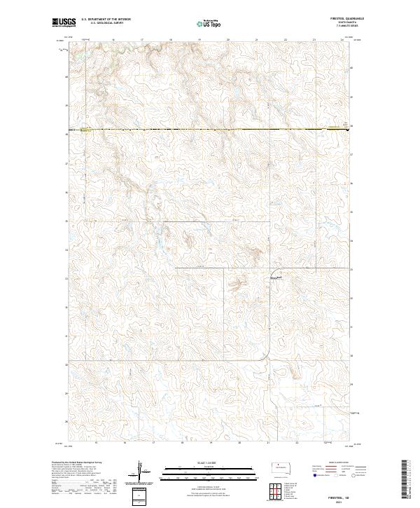
2021 Map of Firesteel
USGS Topo · Published 2021About this map
The unincorporated settlement of Firesteel anchors this high plains landscape on the border of Corson and Dewey counties. The terrain is defined by the winding course of the Little Moreau River to the east and the headwaters of Firesteel Cr in the northwest, showcasing a classic West River drainage pattern. Local roads like Coal Mine Rd hint at the area's history of small-scale resource extraction, while Our Savior Cem near the northern boundary provides a specific point of interest for those tracing family roots in this rural township system. This topographic study captures a largely agricultural and pastoral region where water features like Lake Walton are critical landmarks in an otherwise open, undulating prairie.
Find a feature on this map
21 named features on this map. Tap any name to fly to it.
Don’t see what you’re looking for? This feature index may not catch every label — zoom into the map to look around manually.
Map Details
Editions of this 2021 Firesteel Map
This is the sole edition of this map. No revisions or reprints were ever made.
Other maps of this area

1953 · McIntosh
USGS Topo · 1:250,000

1956 · Miscol SW
USGS Topo · 1:24,000

1956 · Black Horse SW
USGS Topo · 1:24,000

1956 · Black Horse SE
USGS Topo · 1:24,000

1958 · McIntosh
USGS Topo · 1:250,000

1978 · Brewer Butte
USGS Topo · 1:24,000

1978 · Isabel SW
USGS Topo · 1:24,000

1978 · Peach Lake
USGS Topo · 1:24,000

1978 · Isabel
USGS Topo · 1:24,000

1978 · Livermant Lake
USGS Topo · 1:24,000