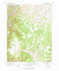
1953 Map of Firewater Canyon
USGS Topo · Published 1975About this map
The Green River carves a dramatic path through the northwest corner of this territory, defining the landscape of Desolation Canyon as it winds past Rock House Bottom and Peters Point. Much of the quadrangle lies within the Uintah and Ouray Indian Reservation, a high plateau environment deeply incised by drainages such as Firewater Canyon and Tabyago Canyon. Human presence is sparse and concentrated around vital water sources and travel corridors, evidenced by a remote School near Wilcox Canyon and scattered points like Tabyago Spring and Charlie Brown Spring. The terrain transitions from the river's edge to significant heights at Fox Point and North Point, while names like Wild Horse Canyon and Death Canyon reflect the demanding nature of this isolated segment of the Uinta Basin during the mid-century era.
Find a feature on this map
38 named features on this map. Tap any name to fly to it.
Don’t see what you’re looking for? This feature index may not catch every label — zoom into the map to look around manually.
Map Details
Editions of this 1953 Firewater Canyon Map
3 editions found
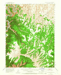
Other maps of this area

1885 · East Tavaputs
USGS Topo · 1:250,000

1886 · Price River
USGS Topo · 1:250,000

1896 · Price River
USGS Topo · 1:250,000

1953 · Nutters Hole
USGS Topo · 1:62,500

1953 · Firewater Canyon
USGS Topo · 1:62,500

1954 · Flat Canyon
USGS Topo · 1:62,500

1954 · Range Creek
USGS Topo · 1:62,500

1956 · Price
USGS Topo · 1:250,000

1956 · Grand Junction
USGS Topo · 1:250,000

1959 · Grand Junction
USGS Topo · 1:250,000