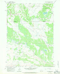
1967 Map of Fish Creek Park
USGS Topo · Published 1971About this map
The Continental Divide defines the crest of this high-elevation landscape, where the headwaters of the Wind and Green Rivers begin their divergent journeys. This 1967 field-checked survey captures a remote wilderness corner at the intersection of the Shoshone National Forest, Teton National Forest, and Bridger National Forest. The map is centered on Union Pass, a historically significant crossing for early mountain men and indigenous travelers. Below the pass, the terrain drops toward the basin of Lake Of The Woods and follows the meandering course of South Fork Fish Creek. The absence of roads is notable, with the region instead connected by an intricate network of Jeep Trails and the Highline Trail (Pack). Prominent landforms like Pinon Ridge and water bodies such as Mud Lake and Crow Creek illustrate the high-country hydrology and geography of the Wind River Range.
Find a feature on this map
23 named features on this map. Tap any name to fly to it.
Don’t see what you’re looking for? This feature index may not catch every label — zoom into the map to look around manually.
Map Details
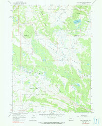
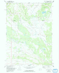
Editions of this 1967 Fish Creek Park Map
3 editions found
Other maps of this area

1902 · Mt Leidy
USGS Topo · 1:125,000

1905 · Younts Peak
USGS Topo · 1:125,000

1907 · Younts Peak
USGS Topo · 1:125,000

1907 · Gros Ventre
USGS Topo · 1:125,000

1909 · Fremont Peak
USGS Topo · 1:125,000

1910 · Gros Ventre
USGS Topo · 1:125,000

1955 · Driggs
USGS Topo · 1:250,000

1955 · Thermopolis
USGS Topo · 1:250,000

1956 · Warm Spring Mountain
USGS Topo · 1:24,000

1956 · Fish Lake
USGS Topo · 1:24,000