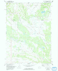
1967 Map of Fish Creek Park
USGS Topo · Published 1993About this map
The Continental Divide winds through this high-altitude landscape, marking the point where the headwaters of several major drainages begin their descent. Based on field checks from the late 1960s, the map reveals a wilderness area where the boundaries of the Shoshone National Forest, Teton National Forest, and Bridger National Forest converge. At the northeastern corner, Union Pass serves as a critical geographic and historical transit point, situated near the secluded Lake Of The Woods.
Find a feature on this map
20 named features on this map. Tap any name to fly to it.
Don’t see what you’re looking for? This feature index may not catch every label — zoom into the map to look around manually.
Map Details
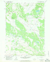
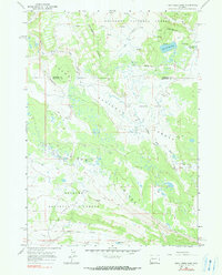
Editions of this 1967 Fish Creek Park Map
3 editions found
Other maps of this area

1902 · Mt Leidy
USGS Topo · 1:125,000

1905 · Younts Peak
USGS Topo · 1:125,000

1907 · Younts Peak
USGS Topo · 1:125,000

1907 · Gros Ventre
USGS Topo · 1:125,000

1909 · Fremont Peak
USGS Topo · 1:125,000

1910 · Gros Ventre
USGS Topo · 1:125,000

1955 · Driggs
USGS Topo · 1:250,000

1955 · Thermopolis
USGS Topo · 1:250,000

1956 · Warm Spring Mountain
USGS Topo · 1:24,000

1956 · Fish Lake
USGS Topo · 1:24,000