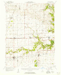
1957 Map of Fithian
USGS Topo · Published 1958About this map
The Vermilion River and the Salt Fork dominate the eastern and southern reaches of this landscape, carving deep bends like Horseshoe Bend into the otherwise level terrain. The central corridor is a hub of mid-century activity along the New York Central System, connecting small rural centers like Fithian, Muncie, and Oakwood. To the east, the rugged topography of Kickapoo State Park stands in contrast to the surrounding farmland, reflecting a transition into the mining and recreation areas near Missionfield and Belgium Row.
Find a feature on this map
62 named features on this map. Tap any name to fly to it.
Don’t see what you’re looking for? This feature index may not catch every label — zoom into the map to look around manually.
Map Details
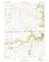
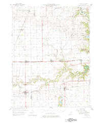
Editions of this 1957 Fithian Map
3 editions found
Other maps of this area

1899 · Danville
USGS Topo · 1:62,500

1900 · Danville
USGS Topo · 1:62,500

1906 · Urbana
USGS Topo · 1:62,500

1924 · Paxton
USGS Topo · 1:62,500

1927 · Paxton
USGS Topo · 1:62,500

1931 · Fithian
USGS Topo · 1:48,000

1933 · Hoopeston
USGS Topo · 1:48,000

1936 · Potomac
USGS Topo · 1:62,500

1938 · Hoopeston
USGS Topo · 1:62,500

1943 · Fithian
USGS Topo · 1:62,500