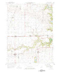
1957 Map of Fithian
USGS Topo · Published 1981About this map
The Salt Fork river winds through the eastern Illinois prairie, anchoring a landscape defined by small rail towns and rural school districts in the late 1950s. This survey illustrates the intricate relationship between the New York Central and Illinois Central Terminal lines, which connected agricultural hubs like Fithian and Oakwood. The presence of Belgium Row and Missionfield suggests the regional industrial history, while the sprawling Kickapoo State Park marks a shift toward conservation along the Glenburn Cr.
Find a feature on this map
56 named features on this map. Tap any name to fly to it.
Don’t see what you’re looking for? This feature index may not catch every label — zoom into the map to look around manually.
Map Details
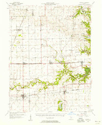
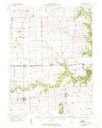
Editions of this 1957 Fithian Map
3 editions found
Other maps of this area

1899 · Danville
USGS Topo · 1:62,500

1900 · Danville
USGS Topo · 1:62,500

1906 · Urbana
USGS Topo · 1:62,500

1924 · Paxton
USGS Topo · 1:62,500

1927 · Paxton
USGS Topo · 1:62,500

1931 · Fithian
USGS Topo · 1:48,000

1933 · Hoopeston
USGS Topo · 1:48,000

1936 · Potomac
USGS Topo · 1:62,500

1938 · Hoopeston
USGS Topo · 1:62,500

1943 · Fithian
USGS Topo · 1:62,500