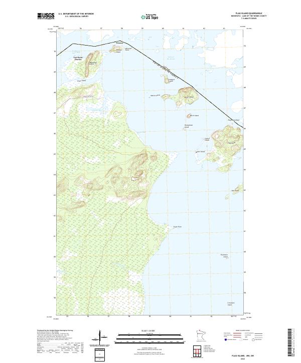
2022 Map of Flag Island
USGS Topo · Published 2022About this map
Fort Saint Charles and the northernmost reaches of the United States define this map of the Northwest Angle, where the international boundary with Canada cuts across Lake of the Woods. This unique geographic anomaly features a complex archipelago of islands and inlets, including Magnusons Island, Penasse Island, and the historic settlement of Penasse near American Point. The map details the intricate waterways of Northwest Angle Inlet and Moose Bay, providing a clear view of the terrestrial and aquatic boundaries that have shaped local navigation and governance for generations. Smaller landforms like Honeymoon Island and Crowduck Island dot the lake, illustrating the dense concentration of islands that characterize this remote borderland.
Find a feature on this map
30 named features on this map. Tap any name to fly to it.
Don’t see what you’re looking for? This feature index may not catch every label — zoom into the map to look around manually.
Map Details
Editions of this 2022 Flag Island Map
This is the sole edition of this map. No revisions or reprints were ever made.
Other maps of this area

1918 · Buffalo Bay
USGS Topo · 1:62,500
1918 · Oak Island
USGS Topo · 1:62,500

1963 · Kenora
USGS Topo · 1:250,000
1967 · Flag Island
USGS Topo · 1:24,000
1967 · Garden Island West
USGS Topo · 1:24,000
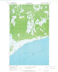
1967 · Buffalo Bay NE
USGS Topo · 1:24,000
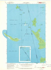
1967 · Garden Island East
USGS Topo · 1:24,000
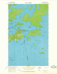
1967 · Oak Island
USGS Topo · 1:24,000
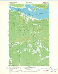
1967 · Angle Inlet
USGS Topo · 1:24,000
1985 · Oak Island
USGS Topo · 1:100,000