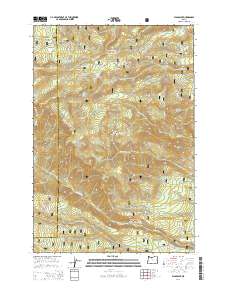
2014 Map of Flag Point
USGS Topo · Published 2014About this map
Mount Hood National Forest dominates this landscape along the Hood River and Wasco County line, characterized by a complex network of high-elevation ridges and deep creek drainages. The 2014 survey documents a land defined by water management and fire observation infrastructure, notably the Flag Point Lookout Rd leading to the prominent Flag Point. Engineering for water transport is evident through the Springer Ditch and Highland Ditch, which cut across the varied terrain to move resources from the high country. Numerous remote water sources such as Three Bear Spring, Bennett Spring, and Sunset Springs are documented alongside notable peaks like Gordon Butte and Hootnanny Point. This map provides a detailed look at the wilderness interface in the early 21st century, showing how forest roads and trails navigate between landmarks like Eightmile Meadow and Oval Lake.
Find a feature on this map
59 named features on this map. Tap any name to fly to it.
Don’t see what you’re looking for? This feature index may not catch every label — zoom into the map to look around manually.
Map Details
Editions of this 2014 Flag Point Map
This is the sole edition of this map. No revisions or reprints were ever made.
Other maps of this area

1924 · Mount Hood
USGS Topo · 1:125,000

1927 · Mount Hood
USGS Topo · 1:125,000

1930 · Dufur
USGS Topo · 1:125,000

1934 · Dufur
USGS Topo · 1:125,000

1953 · The Dalles
USGS Topo · 1:250,000

1956 · The Dalles
USGS Topo · 1:250,000

1956 · Mt. Wilson
USGS Topo · 1:62,500

1957 · The Dalles
USGS Topo · 1:250,000

1962 · Wolf Run
USGS Topo · 1:24,000

1962 · Rock Creek Reservoir
USGS Topo · 1:24,000