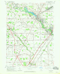
1967 Map of Flat Rock
USGS Topo · Published 1969About this map
The Huron River winds through this landscape, marking the transition between Wayne and Monroe counties as it flows toward Lake Erie. In the late 1960s, the area reflects a complex mix of industrial infrastructure and suburban expansion, anchored by the Flat Rock Yard and the emerging residential grids of Woodhaven and Rockwood. The presence of several large cemeteries, including Michigan Memorial Park Cemetery and Willow Cemetery, alongside the sprawling Willow Metro Park, suggests a region balancing utility with recreation and remembrance.
Find a feature on this map
114 named features on this map. Tap any name to fly to it.
Don’t see what you’re looking for? This feature index may not catch every label — zoom into the map to look around manually.
Map Details
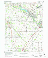
Editions of this 1967 Flat Rock Map
2 editions found
Other maps of this area

1906 · Wyandotte
USGS Topo · 1:62,500

1906 · Romulus
USGS Topo · 1:62,500

1912 · Wyandotte
USGS Topo · 1:62,500

1912 · Monroe
USGS Topo · 1:62,500

1914 · Monroe
USGS Topo · 1:62,500

1927 · Monroe
USGS Topo · 1:31,680

1928 · Romulus
USGS Topo · 1:62,500

1929 · Wyandotte
USGS Topo · 1:62,500

1936 · Wyandotte
USGS Topo · 1:31,680
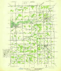
1936 · Belleville
USGS Topo · 1:31,680
Featured Places
- Brownstown Charter Township, MI
- Frenchtown Charter Township, MI
- Huron Charter Township, MI
- Woodhaven, MI
- Berlin Charter Township, MI