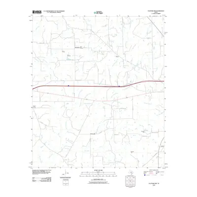
2010 Map of Flatonia NW
USGS Topo · Published 2010About this map
Newtonville and the crossroads at Armstrong anchor this rural landscape in Gonzales County, where agricultural patterns are defined by a complex network of waterways. Significant local history is preserved in numerous burial grounds, including the Mount Olive Cemetery, Cochran Cemetery, and the Andrews Chapel Cemetery situated near Andrews Chapel. These sites, along with the Sommers Cemetery and Castleman Cemetery, offer vital points of reference for genealogists tracing families in this part of Texas.
Find a feature on this map
51 named features on this map. Tap any name to fly to it.
Don’t see what you’re looking for? This feature index may not catch every label — zoom into the map to look around manually.
Map Details
Editions of this 2010 Flatonia NW Map
This is the sole edition of this map. No revisions or reprints were ever made.
Other maps of this area

1901 · Flatonia
USGS Topo · 1:125,000

1953 · Seguin
USGS Topo · 1:250,000

1958 · Seguin
USGS Topo · 1:250,000

1962 · Dilworth
USGS Topo · 1:24,000

1964 · Waelder
USGS Topo · 1:24,000

1964 · Jeddo
USGS Topo · 1:24,000

1965 · Muldoon
USGS Topo · 1:24,000

1965 · Cistern
USGS Topo · 1:24,000

1965 · Komensky
USGS Topo · 1:24,000

1965 · Flatonia
USGS Topo · 1:24,000