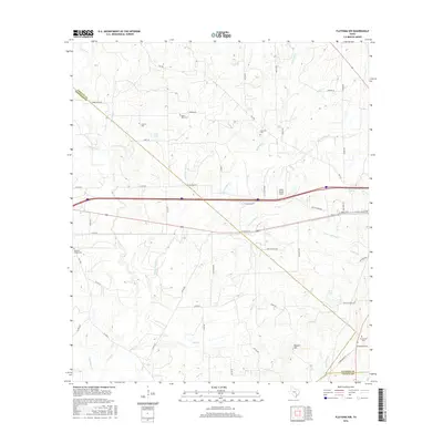
2016 Map of Flatonia NW
USGS Topo · Published 2016About this map
Cochran Cem and Mount Olive Cem anchor the rural landscape of this South Texas region, where the borders of Gonzales, Fayette, and Lavaca counties converge. This 2016 survey documents a terrain defined by the headwaters and tributaries of the Lavaca River and numerous creeks, including Peach Cr and Big Fivemile Cr. The presence of W Old Spanish Trl and Whistleville Rd indicates the intersection of modern infrastructure with older transit corridors. Transportation is further marked by the Piano Ranch Airport and the prominent route of Interstate 10. Local landmarks like Russell Hill and family-named sites such as Castleman Cem provide essential points of reference for genealogists and local historians studying the settlement patterns of this central Texas cattle and farming country.
Find a feature on this map
61 named features on this map. Tap any name to fly to it.
Don’t see what you’re looking for? This feature index may not catch every label — zoom into the map to look around manually.
Map Details
Editions of this 2016 Flatonia NW Map
This is the sole edition of this map. No revisions or reprints were ever made.
Other maps of this area

1901 · Flatonia
USGS Topo · 1:125,000

1953 · Seguin
USGS Topo · 1:250,000

1958 · Seguin
USGS Topo · 1:250,000

1962 · Dilworth
USGS Topo · 1:24,000

1964 · Waelder
USGS Topo · 1:24,000

1964 · Jeddo
USGS Topo · 1:24,000

1965 · Muldoon
USGS Topo · 1:24,000

1965 · Cistern
USGS Topo · 1:24,000

1965 · Komensky
USGS Topo · 1:24,000

1965 · Flatonia
USGS Topo · 1:24,000