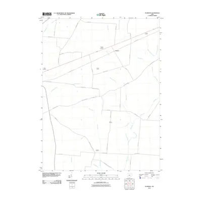
2010 Map of Florence
USGS Topo · Published 2010About this map
Agricultural lands and drainage networks define the landscape surrounding Florence, Ohio, in this early 21st-century survey. The terrain is intricately carved by numerous named watercourses, including Lisbon Fork, Sugar Creek, and Paint Creek, alongside an extensive system of man-made ditches like Woosley Ditch and Wilson Nicholson Ditch. These waterways highlight the region's managed hydrology, essential for the surrounding farmsteads.
Find a feature on this map
46 named features on this map. Tap any name to fly to it.
Don’t see what you’re looking for? This feature index may not catch every label — zoom into the map to look around manually.
Map Details
Editions of this 2010 Florence Map
This is the sole edition of this map. No revisions or reprints were ever made.
Other maps of this area

1906 · Mt Sterling
USGS Topo · 1:62,500

1907 · London
USGS Topo · 1:62,500

1907 · South Charleston
USGS Topo · 1:62,500

1916 · Octa
USGS Topo · 1:62,500

1944 · Octa
USGS Topo · 1:62,500

1947 · Columbus
USGS Topo · 1:250,000

1961 · Columbus
USGS Topo · 1:250,000
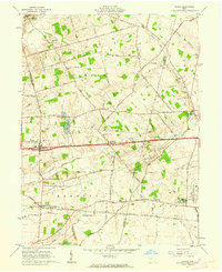
1961 · Vienna
USGS Topo · 1:24,000
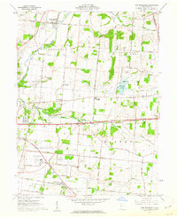
1961 · New Moorefield
USGS Topo · 1:24,000
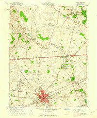
1961 · London
USGS Topo · 1:24,000