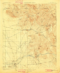
1902 Map of Florence
USGS Topo · Published 1902About this map
Florence serves as the focal point for this early Arizona Territory survey, situated along the Gila River just before the turn of the century. The town is flanked by a network of ranching and mining outposts, reflecting a landscape defined by the rugged Superstition Mountains to the north and the river-fed agricultural lands to the south. Notable ranching interests like Bradys Ranch and Donnellys Ranch are established along the river valley, while the mountains hide mining ventures such as the Silver Bell Mine and the community of Silver King.
Find a feature on this map
143 named features on this map. Tap any name to fly to it.
Don’t see what you’re looking for? This feature index may not catch every label — zoom into the map to look around manually.
Map Details
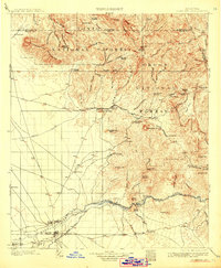
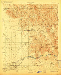
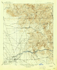
Editions of this 1902 Florence Map
5 editions found
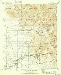
Other maps of this area
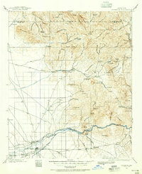
1900 · Florence
USGS Topo · 1:125,000
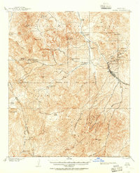
1901 · Globe
USGS Topo · 1:62,500
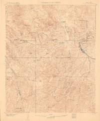
1902 · Globe
USGS Topo · 1:62,500
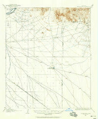
1904 · Desert Well
USGS Topo · 1:62,500
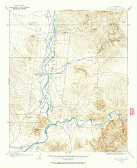
1904 · Ft. McDowell
USGS Topo · 1:62,500
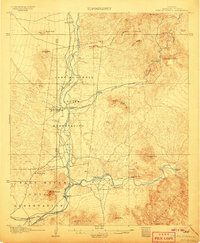
1906 · Ft. McDowell
USGS Topo · 1:62,500
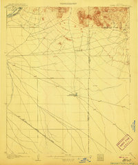
1906 · Desert Well
USGS Topo · 1:62,500
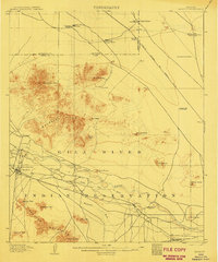
1907 · Sacaton
USGS Topo · 1:62,500
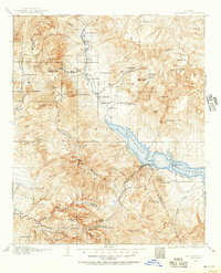
1907 · Roosevelt
USGS Topo · 1:125,000
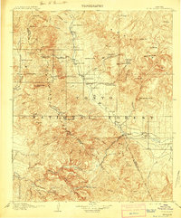
1909 · Four Peaks
USGS Topo · 1:125,000