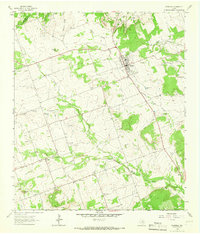
1964 Map of Florence
USGS Topo · Published 1966About this map
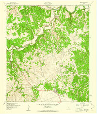
Florence stands as the primary hub in this mid-1960s survey of the Central Texas landscape, situated where the terrain begins to break into the distinctive ridges of the Edwards Plateau. The map reveals a rural economy heavily dependent on the land, evidenced by the numerous Gravel Pits and a Stone Mine scattered across the countryside. To the southwest, the small settlement of Andice is anchored by the Andice Cem, reflecting the deep-rooted family histories of the region. The drainage patterns are well-defined by South Salado Creek and Berry Creek, which carve through the limestone-rich earth toward prominent elevations like Hickman Knob and Tucker Knob. For genealogists, the map is a vital resource, preserving the locations of numerous family and community burial grounds including Wesley Chapel Cem, Dunn Cem, and Matthews Cem, often located near landmarks like Oak Grove Ch.
Find a feature on this map
27 named features on this map. Tap any name to fly to it.
Don’t see what you’re looking for? This feature index may not catch every label — zoom into the map to look around manually.
Map Details
Editions of this 1964 Florence Map
2 editions found
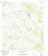
Other maps of this area

1893 · Georgetown
USGS Topo · 1:125,000

1925 · Georgetown 4-b
USGS Topo · 1:48,000

1928 · Round Rock
USGS Topo · 1:62,500

1949 · Round Rock
USGS Topo · 1:62,500

1951 · Round Rock
USGS Topo · 1:62,500

1954 · Austin
USGS Topo · 1:250,000
1958 · Youngsport
USGS Topo · 1:24,000
1958 · Ding Dong
USGS Topo · 1:24,000
1958 · Briggs
USGS Topo · 1:24,000
1962 · Liberty Hill
USGS Topo · 1:24,000