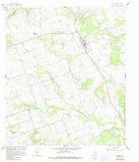
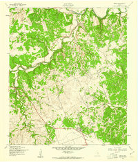
1964 Map of Florence
USGS Topo · Published 1991About this map
The community of Florence serves as the primary hub of this Central Texas landscape, situated at the junction of several key transportation routes including Highway 195 and Route 138. The terrain is defined by the headwaters of the Salado and Berry Creek systems, with South Salado Creek and North Salado Creek carving through the limestone uplands. To the southwest, the smaller settlement of Andice is marked by the Andice Cem, reflecting the area's early rural development.
Find a feature on this map
29 named features on this map. Tap any name to fly to it.
Don’t see what you’re looking for? This feature index may not catch every label — zoom into the map to look around manually.
Map Details
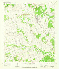
Editions of this 1964 Florence Map
2 editions found
Other maps of this area

1893 · Georgetown
USGS Topo · 1:125,000

1925 · Georgetown 4-b
USGS Topo · 1:48,000

1928 · Round Rock
USGS Topo · 1:62,500

1949 · Round Rock
USGS Topo · 1:62,500

1951 · Round Rock
USGS Topo · 1:62,500

1954 · Austin
USGS Topo · 1:250,000
1958 · Youngsport
USGS Topo · 1:24,000
1958 · Ding Dong
USGS Topo · 1:24,000
1958 · Briggs
USGS Topo · 1:24,000
1962 · Liberty Hill
USGS Topo · 1:24,000