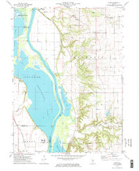
1972 Map of Florid
USGS Topo · Published 1974About this map
The Illinois River corridor dominates this 1970s landscape, illustrating the complex hydrology of the bottomlands before modern engineering further altered the flow. Wide expanses of water including Senachwine Lake, Swan Lake, and Sawmill Lake suggest a seasonally shifting floodplain that dictated the placement of upland settlements. The small community of Florid and the town of Hennepin sit on higher ground, overlooking the river valley and its industrial markers like the Pumping Station and several Gravel Pit operations.
Find a feature on this map
26 named features on this map. Tap any name to fly to it.
Don’t see what you’re looking for? This feature index may not catch every label — zoom into the map to look around manually.
Map Details
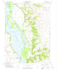
Editions of this 1972 Florid Map
2 editions found
Other maps of this area

1893 · Lacon
USGS Topo · 1:62,500

1893 · Hennepin
USGS Topo · 1:62,500

1893 · Lasalle
USGS Topo · 1:62,500

1909 · Hennepin
USGS Topo · 1:62,500

1911 · La Salle
USGS Topo · 1:62,500

1911 · Hennepin
USGS Topo · 1:62,500

1913 · La Salle
USGS Topo · 1:62,500

1933 · Lacon
USGS Topo · 1:62,500

1934 · Wenona
USGS Topo · 1:48,000

1937 · Lacon
USGS Topo · 1:62,500