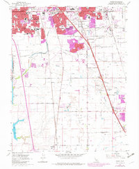
1968 Map of Florin
USGS Topo · Published 1980About this map
Sacramento urban expansion pushes southward toward Florin in this late-1960s survey, updated with purple-tinted urban extensions from 1978. The landscape is a transition between dense residential development and the sprawling agricultural tracts of Sacramento Co. Two major rail lines, the Western Pacific and Southern Pacific, bisect the region, anchoring the local economy and transportation network alongside major arteries like Florin Road.
Find a feature on this map
64 named features on this map. Tap any name to fly to it.
Don’t see what you’re looking for? This feature index may not catch every label — zoom into the map to look around manually.
Map Details
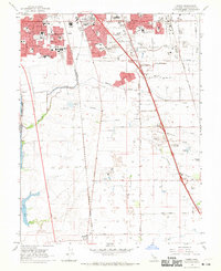
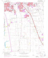
Editions of this 1968 Florin Map
3 editions found
Other maps of this area

1891 · Sacramento
USGS Topo · 1:125,000

1892 · Sacramento
USGS Topo · 1:125,000

1893 · Sacramento
USGS Topo · 1:125,000

1894 · Lodi
USGS Topo · 1:125,000

1902 · Fairoaks
USGS Topo · 1:62,500

1907 · Davisville
USGS Topo · 1:62,500

1908 · Courtland
USGS Topo · 1:62,500

1909 · Elk Grove
USGS Topo · 1:31,680

1909 · Florin
USGS Topo · 1:31,680

1910 · Bruceville
USGS Topo · 1:31,680