
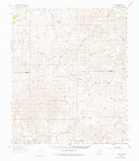
1961 Map of Flying H
USGS Topo · Published 1963About this map
Flying H serves as a central landmark in this ranch-dominated landscape where the borders of Lincoln Co and Chaves Co meet. The 1961 field check reveals a high-desert environment where water management is the primary driver of human settlement. A network of family-named holdings like the Mc Knight Ranch and Slaughter Ranch are connected by unimproved dirt roads and light-duty paths, many leading toward essential water sources such as the Salt BM House Well and Sulphur Well.
Find a feature on this map
66 named features on this map. Tap any name to fly to it.
Don’t see what you’re looking for? This feature index may not catch every label — zoom into the map to look around manually.
Map Details
Editions of this 1961 Flying H Map
2 editions found
Other maps of this area

1954 · Carlsbad
USGS Topo · 1:250,000

1955 · Roswell
USGS Topo · 1:250,000

1958 · Carlsbad
USGS Topo · 1:250,000

1958 · Roswell
USGS Topo · 1:250,000

1960 · Teel Ranch
USGS Topo · 1:62,500

1961 · Lincoln
USGS Topo · 1:62,500

1961 · Indian Bluff
USGS Topo · 1:62,500

1961 · Tinnie
USGS Topo · 1:62,500

1962 · Roswell
USGS Topo · 1:250,000

1962 · Dunken
USGS Topo · 1:62,500