
1941 Map of Foley
USGS Topo · Published 1964About this map
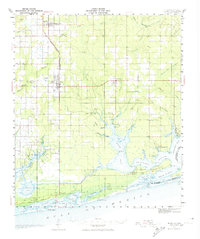
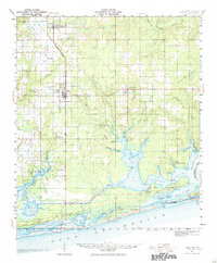
The coastal plains of Baldwin County reveal a transition from timber and agricultural lands to the intricate tidal estuaries of the Gulf. The Louisville and Nashville Railroad serves as a primary north-south spine, terminating at Foley, where it anchors a landscape dotted with local institutions like the Foley Sch and Pleasant View Ch. Surveyed in the early 1940s, the map captures the region's transport network before the heavy expansion of coastal tourism, featuring the Oak Airport and the newly engineered path of the Intracoastal Waterway cutting through the marshlands.
Find a feature on this map
61 named features on this map. Tap any name to fly to it.
Don’t see what you’re looking for? This feature index may not catch every label — zoom into the map to look around manually.
Map Details
Editions of this 1941 Foley Map
3 editions found
Other maps of this area

1920 · Robertsdale
USGS Topo · 1:62,500

1921 · Bon Secour
USGS Topo · 1:62,500

1921 · Point Clear
USGS Topo · 1:62,500

1921 · Fairhope
USGS Topo · 1:62,500

1921 · Fort Barrancas
USGS Topo · 1:62,500

1921 · Muscogee
USGS Topo · 1:62,500

1940 · Silverhill
USGS Topo · 1:31,680

1941 · Fort Barrancas
USGS Topo · 1:62,500

1941 · Silverhill
USGS Topo · 1:31,680

1941 · Muscogee
USGS Topo · 1:62,500