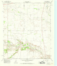
1967 Map of Folley
USGS Topo · Published 1970About this map
Quitaque Creek carves a deep, intricate canyon system across this Texas Panhandle landscape, marking a stark contrast between the dissected breaks and the level plateau of Wolf Flat to the northeast. This 1967 field-checked survey captures the transition between Briscoe, Motley, and Hall counties, where the small settlement of Folley sits near the edge of the creek's drainage.
Find a feature on this map
13 named features on this map. Tap any name to fly to it.
Don’t see what you’re looking for? This feature index may not catch every label — zoom into the map to look around manually.
Map Details
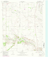
Editions of this 1967 Folley Map
2 editions found
Other maps of this area

1954 · Plainview
USGS Topo · 1:250,000

1958 · Plainview
USGS Topo · 1:250,000

1967 · Quitaque
USGS Topo · 1:24,000

1967 · North Windmill
USGS Topo · 1:24,000

1967 · Tampico Siding
USGS Topo · 1:24,000

1967 · Quitaque Peaks
USGS Topo · 1:24,000

1967 · Hornica Creek
USGS Topo · 1:24,000

1967 · Flomot
USGS Topo · 1:24,000

1967 · Turkey
USGS Topo · 1:24,000

1967 · Lake Theo
USGS Topo · 1:24,000