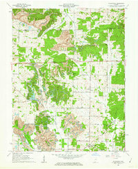
1960 Map of Folsomville
USGS Topo · Published 1968About this map
The Old Indian Treaty Boundary slices across the northeastern corner of this Warrick County landscape, serving as a reminder of early territorial demarcations in southern Indiana. By the early 1960s, the region is defined by a dense network of strip mines and industrial activity, most notably the Tecumseh Mine. This heavy extraction industry exists alongside a traditional rural fabric of small communities and crossroads such as Folsomville, Scalesville, and Dickeyville.
Find a feature on this map
50 named features on this map. Tap any name to fly to it.
Don’t see what you’re looking for? This feature index may not catch every label — zoom into the map to look around manually.
Map Details
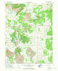
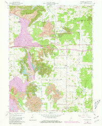
Editions of this 1960 Folsomville Map
3 editions found
Other maps of this area

1900 · De Gonia Springs
USGS Topo · 1:62,500

1902 · Ditney
USGS Topo · 1:125,000

1902 · Degonia Springs
USGS Topo · 1:62,500

1902 · Boonville
USGS Topo · 1:62,500

1903 · Velpen
USGS Topo · 1:62,500

1903 · Petersburg
USGS Topo · 1:62,500

1956 · Vincennes
USGS Topo · 1:250,000

1957 · Vincennes
USGS Topo · 1:250,000

1958 · Vincennes
USGS Topo · 1:250,000
1960 · De Gonia Springs
USGS Topo · 1:24,000