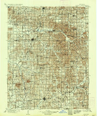
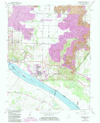
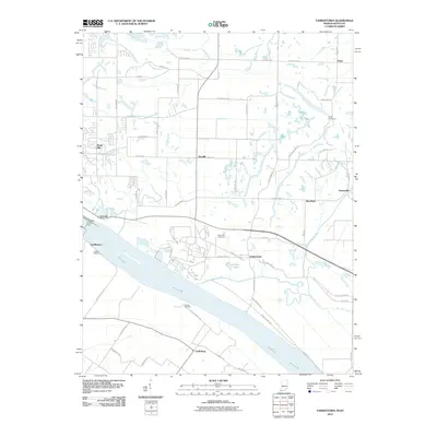
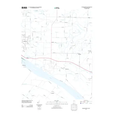
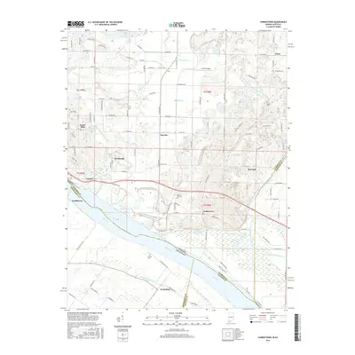
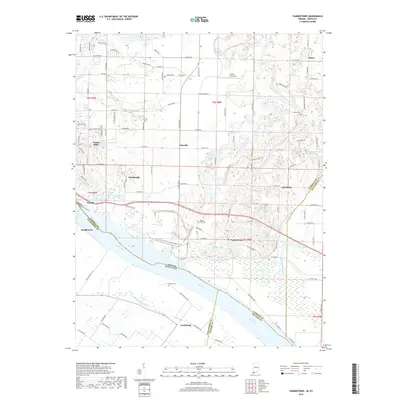
1960 Map of Folsomville
USGS Topo · Published 1981About this map
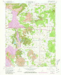
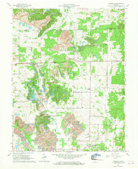
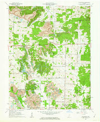
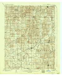
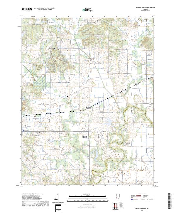
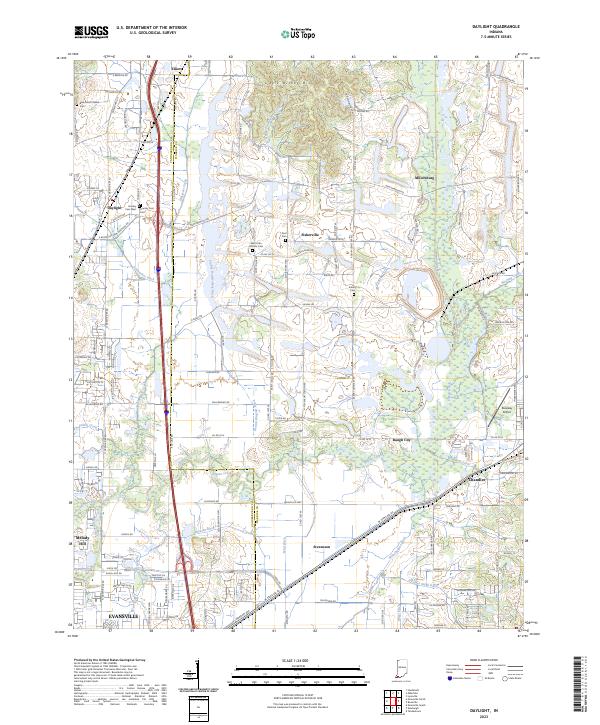
The South Fork Patoka River and its numerous tributaries, including Coles Creek and Barren Fork, define the landscape of this southern Indiana region during a period of transition in the late 20th century. Large-scale surface mining operations, such as the Monroe Strip Mines, are prominent across the northern and western sections of the quadrangle, altering the terrain between the small settlements of Folsomville, Sealesville, and Dickeyville.
Find a feature on this map
49 named features on this map. Tap any name to fly to it.
Don’t see what you’re looking for? This feature index may not catch every label — zoom into the map to look around manually.
Map Details
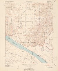
Editions of this 1960 Folsomville Map
3 editions found
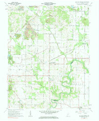
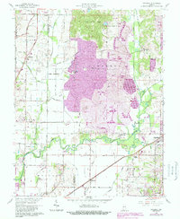
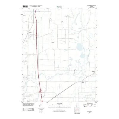
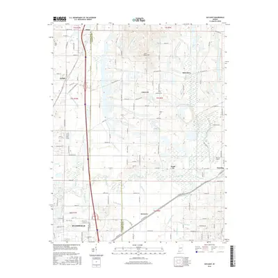
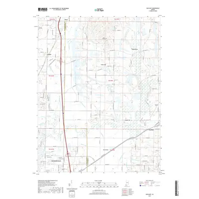
Historical Maps of Dickeyville Through Time
28 maps found

1900 De Gonia Springs
Warrick County, IN
1902 Degonia Springs
Warrick County, IN
1902 Ditney
Warrick County, IN
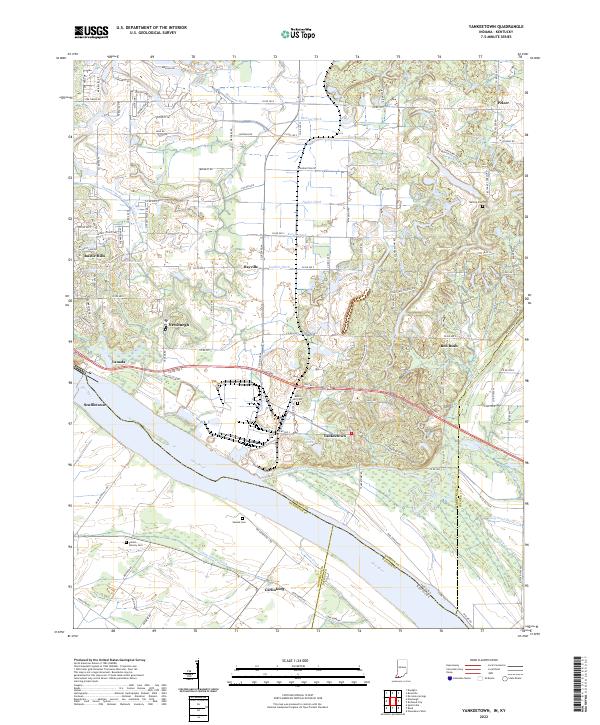
1951 Yankeetown
Warrick County, IN
1960 De Gonia Springs
Warrick County, IN
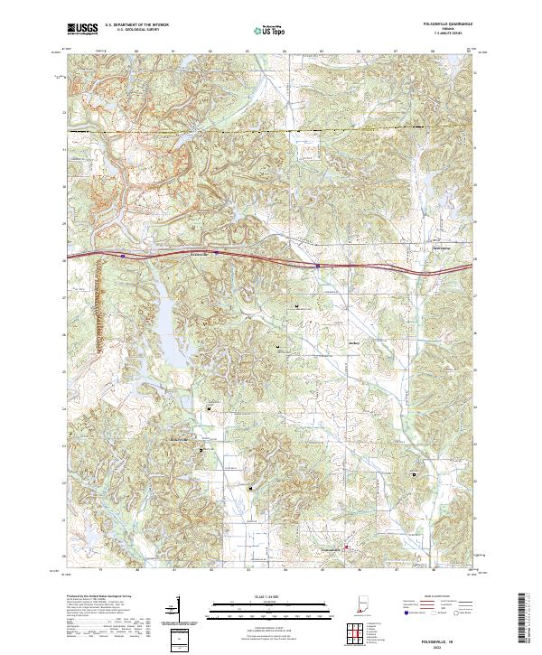
1960 Folsomville
Warrick County, IN
1961 Daylight
Warrick County, IN
1964 Yankeetown
Warrick County, IN
2010 Daylight
Warrick County, IN
2010 De Gonia Springs
Warrick County, IN
2010 Folsomville
Warrick County, IN
2010 Yankeetown
Warrick County, IN
2013 Daylight
Warrick County, IN
2013 De Gonia Springs
Warrick County, IN
2013 Folsomville
Warrick County, IN
2013 Yankeetown
Warrick County, IN
2016 Daylight
Warrick County, IN
2016 De Gonia Springs
Warrick County, IN
2016 Folsomville
Warrick County, IN
2016 Yankeetown
Warrick County, IN
2019 Daylight
Warrick County, IN
2019 De Gonia Springs
Warrick County, IN
2019 Folsomville
Warrick County, IN
2019 Yankeetown
Warrick County, IN
2022 De Gonia Springs
Warrick County, IN
2022 Folsomville
Warrick County, IN
2022 Yankeetown
Warrick County, IN
2023 Daylight
Warrick County, IN