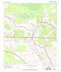
1969 Map of Fordoche
USGS Topo · Published 1971About this map
Bayou Grosse Tete and Bayou Maringouin snake through this Louisiana landscape, defining a region where water management and industrial extraction intersect. The late 1960s environment is heavily shaped by the Atchafalaya Basin Floodway and its accompanying Protection Levee, guarding against the unpredictable river system. Cultural life is anchored by several rural landmarks, including the Little Zion Ch, Mt Pilgrim Ch, and the Sunlight Ch Cem.
Find a feature on this map
42 named features on this map. Tap any name to fly to it.
Don’t see what you’re looking for? This feature index may not catch every label — zoom into the map to look around manually.
Map Details
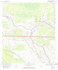
Editions of this 1969 Fordoche Map
2 editions found
Other maps of this area

1906 · Bayou Sara
USGS Topo · 1:125,000

1935 · Osca Bayou
USGS Topo · 1:62,500

1939 · Fordoche
USGS Topo · 1:62,500

1940 · Grosse Tete
USGS Topo · 1:62,500

1953 · Maringouin
USGS Topo · 1:24,000

1953 · New Roads
USGS Topo · 1:24,000

1954 · Fordoche
USGS Topo · 1:24,000

1954 · Erwinville
USGS Topo · 1:24,000

1954 · Grosse Tete
USGS Topo · 1:24,000

1954 · Baton Rouge
USGS Topo · 1:250,000